Distance to Mt Sherman, Kentucky

Calculating Your Route
Just a moment while we process your request...
Location Information
-
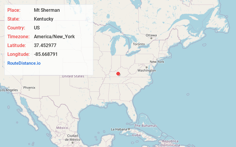
Full AddressMt Sherman, KY
-
Coordinates37.4529773, -85.6687908
-
LocationMt Sherman , Kentucky , US
-
TimezoneAmerica/New_York
-
Current Local Time8:04:30 PM America/New_YorkTuesday, June 24, 2025
-
Page Views0
About Mt Sherman
Mount Sherman is an unincorporated community located in LaRue County, Kentucky, United States. The community is concentrated around the intersection of Kentucky Route 61 and Kentucky Route 1906, southeast of Hodgenville. The zip code is: 42764.
Nearby Places
Found 10 places within 50 miles

Magnolia
4.1 mi
6.6 km
Magnolia, KY 42757
Get directions

Buffalo
4.4 mi
7.1 km
Buffalo, KY
Get directions

Larue County
5.5 mi
8.9 km
Larue County, KY
Get directions
Hibernia
6.0 mi
9.7 km
Hibernia, KY 42716
Get directions
Boundary Oak
6.5 mi
10.5 km
Boundary Oak, KY 42748
Get directions
Maxine
7.0 mi
11.3 km
Maxine, KY 42776
Get directions
Hudgins
7.2 mi
11.6 km
Hudgins, KY 42757
Get directions
Allendale
7.4 mi
11.9 km
Allendale, KY 42782
Get directions
Lobb
7.5 mi
12.1 km
Lobb, KY 42782
Get directions
Stiles
7.7 mi
12.4 km
Stiles, KY 40051
Get directions
Location Links
Local Weather
Weather Information
Coming soon!
Location Map
Static map view of Mt Sherman, Kentucky
Browse Places by Distance
Places within specific distances from Mt Sherman
Short Distances
Long Distances
Click any distance to see all places within that range from Mt Sherman. Distances shown in miles (1 mile ≈ 1.61 kilometers).