Distance to Mt Tabor, Indiana

Calculating Your Route
Just a moment while we process your request...
Location Information
-
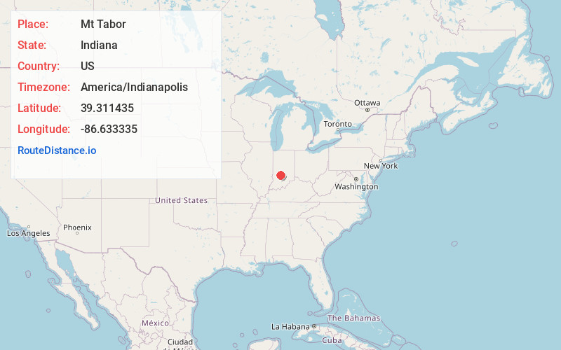
Full AddressMt Tabor, Bean Blossom Township, IN 47429
-
Coordinates39.3114349, -86.6333347
-
LocationBean Blossom Township , Indiana , US
-
TimezoneAmerica/Indianapolis
-
Page Views0
About Mt Tabor
Mount Tabor is an unincorporated community in Bean Blossom Township, Monroe County, in the U.S. state of Indiana.
Nearby Places
Found 10 places within 50 miles

Stinesville
1.3 mi
2.1 km
Stinesville, IN
Get directions

Gosport
3.3 mi
5.3 km
Gosport, IN 47433
Get directions

Whitaker
4.7 mi
7.6 km
Whitaker, IN 46166
Get directions
Ellettsville
5.4 mi
8.7 km
Ellettsville, IN
Get directions

Paragon
6.9 mi
11.1 km
Paragon, IN
Get directions

Spencer
7.1 mi
11.4 km
Spencer, IN 47460
Get directions
Forest Park Heights
7.4 mi
11.9 km
Forest Park Heights, Richland Township, IN 47404
Get directions
Carp
8.5 mi
13.7 km
Carp, IN 47460
Get directions
Cascade
9.8 mi
15.8 km
Cascade, Bloomington, IN 47404
Get directions

Owen County
10.6 mi
17.1 km
Owen County, IN
Get directions
Location Links
Local Weather
Weather Information
Coming soon!
Location Map
Static map view of Mt Tabor, Indiana
Browse Places by Distance
Places within specific distances from Mt Tabor
Short Distances
Long Distances
Click any distance to see all places within that range from Mt Tabor. Distances shown in miles (1 mile ≈ 1.61 kilometers).