Distance to Mule Creek, New Mexico

Calculating Your Route
Just a moment while we process your request...
Location Information
-
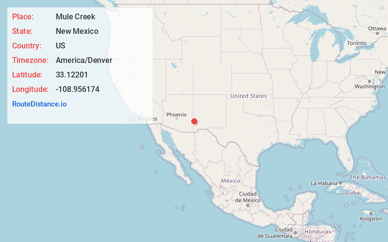
Full AddressMule Creek, NM 88051
-
Coordinates33.12201, -108.9561742
-
LocationMule Creek , New Mexico , US
-
TimezoneAmerica/Denver
-
Current Local Time1:01:56 PM America/DenverFriday, June 20, 2025
-
Page Views0
About Mule Creek
Mule Creek is an unincorporated community in Grant County, New Mexico, United States. Mule Creek is located on New Mexico State Road 78, 46 miles northwest of Silver City. Mule Creek has a post office, with the ZIP code 88051.


Nearby Places
Found 10 places within 50 miles

Harden Cienega
6.0 mi
9.7 km
Harden Cienega, NM 88051
Get directions

Pleasanton
11.4 mi
18.3 km
Pleasanton, NM 88039
Get directions
Wilcox Peak
13.6 mi
21.9 km
Wilcox Peak, NM 88039
Get directions

Buckhorn
15.5 mi
24.9 km
Buckhorn, NM 88025
Get directions

Three Way
19.9 mi
32.0 km
Three Way, AZ 85533
Get directions

Clifton
20.3 mi
32.7 km
Clifton, AZ
Get directions
Guthrie
21.1 mi
34.0 km
Guthrie, AZ 85533
Get directions

Mogollon
21.2 mi
34.1 km
Mogollon, NM 88039
Get directions

York
21.7 mi
34.9 km
York, AZ 85534
Get directions

Morenci
22.1 mi
35.6 km
Morenci, AZ 85540
Get directions
Location Links
Local Weather
Weather Information
Coming soon!
Location Map
Static map view of Mule Creek, New Mexico
Browse Places by Distance
Places within specific distances from Mule Creek
Short Distances
Long Distances
Click any distance to see all places within that range from Mule Creek. Distances shown in miles (1 mile ≈ 1.61 kilometers).