Distance to Myra, Texas

Calculating Your Route
Just a moment while we process your request...
Location Information
-
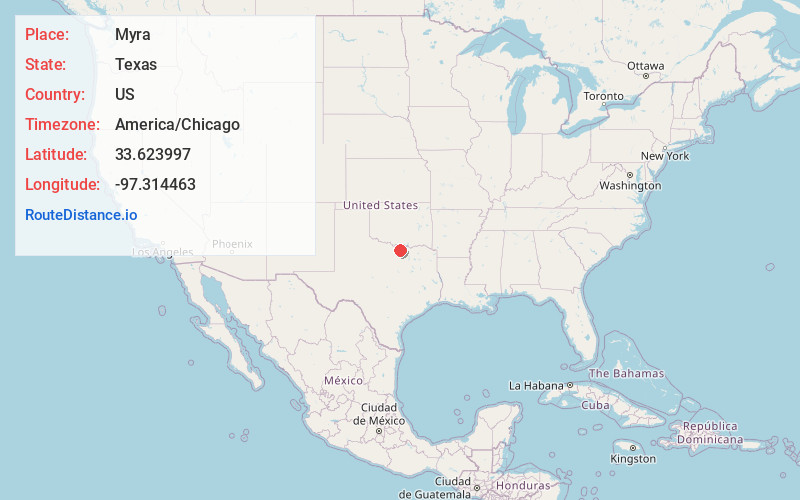
Full AddressMyra, TX
-
Coordinates33.6239966, -97.3144625
-
LocationMyra , Texas , US
-
TimezoneAmerica/Chicago
-
Current Local Time3:10:07 AM America/ChicagoSaturday, June 21, 2025
-
Page Views0
About Myra
Myra is an unincorporated community and census designated place in western Cooke County, Texas, United States. It lies just off U.S. Route 82, west of the city of Gainesville, the county seat of Cooke County. Its elevation is 935 feet. it had a post office, with the ZIP code 76253 until early 2013. It is now closed.


Nearby Places
Found 10 places within 50 miles

Muenster
4.0 mi
6.4 km
Muenster, TX 76252
Get directions

Lindsay
5.3 mi
8.5 km
Lindsay, TX
Get directions

Gainesville
10.4 mi
16.7 km
Gainesville, TX 76240
Get directions

Valley View
12.7 mi
20.4 km
Valley View, TX
Get directions

St Jo
12.9 mi
20.8 km
St Jo, TX 76265
Get directions

Thackerville
15.4 mi
24.8 km
Thackerville, OK 73459
Get directions

Lake Kiowa
17.7 mi
28.5 km
Lake Kiowa, TX 76240
Get directions
Callisburg
18.2 mi
29.3 km
Callisburg, TX
Get directions

Burneyville
19.7 mi
31.7 km
Burneyville, OK 73430
Get directions

Sanger
19.8 mi
31.9 km
Sanger, TX 76266
Get directions
Location Links
Local Weather
Weather Information
Coming soon!
Location Map
Static map view of Myra, Texas
Browse Places by Distance
Places within specific distances from Myra
Short Distances
Long Distances
Click any distance to see all places within that range from Myra. Distances shown in miles (1 mile ≈ 1.61 kilometers).