Distance to and from Naptha, Virginia
Naptha, VA 23843
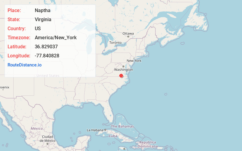
Virginia
US
America/New_York
Location Information
-
Full AddressNaptha, VA 23843
-
Coordinates36.8290365, -77.8408278
-
LocationVirginia , US
-
TimezoneAmerica/New_York
-
Current Local Time2:13:49 PM America/New_YorkSaturday, May 3, 2025
-
Page Views0
Directions to Nearest Cities
About Naptha
Naptha is an unincorporated community located in Brunswick County, in the U.S. state of Virginia.
It has also been called Crossroads.
The Abernathy family were one of the five families who founded Brunswick County.
Nearby Places
Found 10 places within 50 miles

Alberta
3.6 mi
5.8 km
Alberta, VA
Get directions
Cochran
3.7 mi
6.0 km
Cochran, Alberta, VA 23821
Get directions

Warfield
4.7 mi
7.6 km
Warfield, VA 23889
Get directions

Lawrenceville
4.9 mi
7.9 km
Lawrenceville, VA 23868
Get directions
Sturgeonville
5.2 mi
8.4 km
Sturgeonville, VA 23889
Get directions
Hicks Mill
11.4 mi
18.3 km
Hicks Mill, VA 23893
Get directions
McKenney
12.7 mi
20.4 km
McKenney, VA 23872
Get directions

Brodnax
13.5 mi
21.7 km
Brodnax, VA 23920
Get directions

La Crosse
16.8 mi
27.0 km
La Crosse, VA
Get directions

South Hill
17.4 mi
28.0 km
South Hill, VA
Get directions
Alberta
3.6 mi
5.8 km
Alberta, VA
Cochran
3.7 mi
6.0 km
Cochran, Alberta, VA 23821
Warfield
4.7 mi
7.6 km
Warfield, VA 23889
Lawrenceville
4.9 mi
7.9 km
Lawrenceville, VA 23868
Sturgeonville
5.2 mi
8.4 km
Sturgeonville, VA 23889
Hicks Mill
11.4 mi
18.3 km
Hicks Mill, VA 23893
McKenney
12.7 mi
20.4 km
McKenney, VA 23872
Brodnax
13.5 mi
21.7 km
Brodnax, VA 23920
La Crosse
16.8 mi
27.0 km
La Crosse, VA
South Hill
17.4 mi
28.0 km
South Hill, VA
Location Links
Local Weather
Weather Information
Coming soon!
Location Map
Static map view of Naptha, Virginia
Browse Places by Distance
Places within specific distances from Naptha
Short Distances
Long Distances
Click any distance to see all places within that range from Naptha. Distances shown in miles (1 mile ≈ 1.61 kilometers).