Distance to Warfield, Virginia

Calculating Your Route
Just a moment while we process your request...
Location Information
-
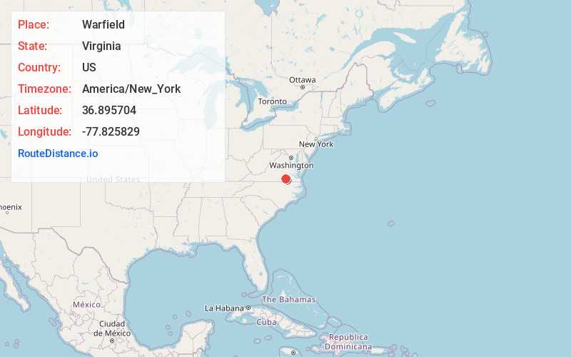
Full AddressWarfield, VA 23889
-
Coordinates36.8957039, -77.8258289
-
LocationWarfield , Virginia , US
-
TimezoneAmerica/New_York
-
Current Local Time7:18:23 PM America/New_YorkTuesday, June 17, 2025
-
Page Views0
About Warfield
Warfield is an unincorporated community and census-designated place in Brunswick County, Virginia, United States. The population as of the 2010 Census was 115.
The settlement is located along a former railroad.

Nearby Places
Found 10 places within 50 miles

Alberta
3.9 mi
6.3 km
Alberta, VA
Get directions
McKenney
8.5 mi
13.7 km
McKenney, VA 23872
Get directions

Lawrenceville
9.6 mi
15.4 km
Lawrenceville, VA 23868
Get directions

Blackstone
15.9 mi
25.6 km
Blackstone, VA 23824
Get directions

Kenbridge
17.1 mi
27.5 km
Kenbridge, VA 23944
Get directions

Brodnax
17.3 mi
27.8 km
Brodnax, VA 23920
Get directions

Dinwiddie
18.3 mi
29.5 km
Dinwiddie, VA 23841
Get directions

La Crosse
20.3 mi
32.7 km
La Crosse, VA
Get directions

South Hill
20.4 mi
32.8 km
South Hill, VA
Get directions
Jarratt
20.6 mi
33.2 km
Jarratt, VA 23867
Get directions
Location Links
Local Weather
Weather Information
Coming soon!
Location Map
Static map view of Warfield, Virginia
Browse Places by Distance
Places within specific distances from Warfield
Short Distances
Long Distances
Click any distance to see all places within that range from Warfield. Distances shown in miles (1 mile ≈ 1.61 kilometers).