Distance to Navajo Mountain Mission, Arizona

Calculating Your Route
Just a moment while we process your request...
Location Information
-
Full AddressNavajo Mountain Mission, AZ 86044
-
Coordinates36.9347197, -110.7762482
-
LocationArizona , US
-
TimezoneAmerica/Denver
-
Current Local Time11:27:58 AM America/DenverFriday, June 6, 2025
-
Page Views0
Nearby Places
Found 10 places within 50 miles

Navajo Mountain
5.9 mi
9.5 km
Navajo Mountain, UT 86044
Get directions

Shonto
24.8 mi
39.9 km
Shonto, AZ 86054
Get directions

Kaibito
30.2 mi
48.6 km
Kaibito, AZ 86053
Get directions

Kayenta
32.2 mi
51.8 km
Kayenta, AZ 86033
Get directions

Oljato-Monument Valley
32.4 mi
52.1 km
Oljato-Monument Valley, AZ 84536
Get directions

Oljato
33.6 mi
54.1 km
Oljato
Get directions

Halls Crossing
36.3 mi
58.4 km
Halls Crossing, UT 84533
Get directions

Lechee
37.0 mi
59.5 km
Lechee, AZ 86040
Get directions

Page
37.6 mi
60.5 km
Page, AZ
Get directions

Red Lake
43.4 mi
69.8 km
Red Lake, Tonalea, AZ 86044
Get directions
Location Links
Local Weather
Weather Information
Coming soon!
Location Map
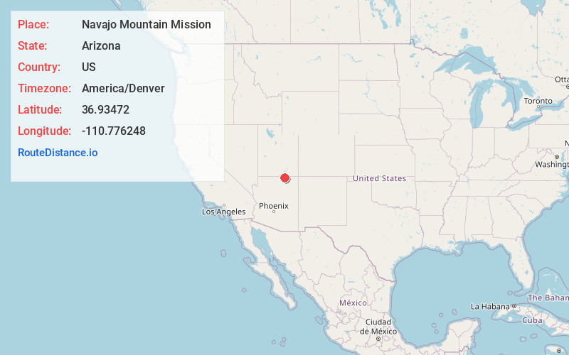
Static map view of Navajo Mountain Mission, Arizona
Browse Places by Distance
Places within specific distances from Navajo Mountain Mission
Short Distances
Long Distances
Click any distance to see all places within that range from Navajo Mountain Mission. Distances shown in miles (1 mile ≈ 1.61 kilometers).