Distance to Neapolis, Ohio

Calculating Your Route
Just a moment while we process your request...
Location Information
-
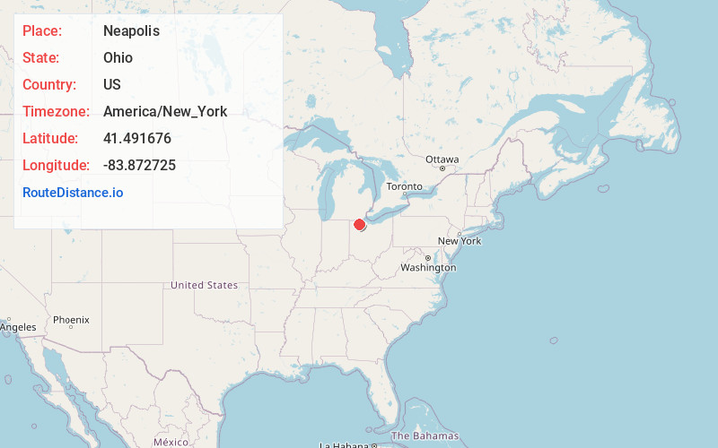
Full AddressNeapolis, OH
-
Coordinates41.4916764, -83.8727246
-
LocationNeapolis , Ohio , US
-
TimezoneAmerica/New_York
-
Current Local Time3:16:57 AM America/New_YorkFriday, May 23, 2025
-
Page Views0
About Neapolis
Neapolis is a census-designated place in northwestern Providence Township, Lucas County, Ohio, United States. As of the 2020 census it had a population of 497. It has a post office, with the ZIP code of 43547.

Nearby Places
Found 10 places within 50 miles

Whitehouse
4.0 mi
6.4 km
Whitehouse, OH
Get directions

Grand Rapids
5.5 mi
8.9 km
Grand Rapids, OH 43522
Get directions

Swanton
6.8 mi
10.9 km
Swanton, OH 43558
Get directions

Liberty Center
7.8 mi
12.6 km
Liberty Center, OH 43532
Get directions

Waterville
8.0 mi
12.9 km
Waterville, OH 43566
Get directions

Haskins
8.8 mi
14.2 km
Haskins, OH
Get directions

Delta
8.9 mi
14.3 km
Delta, OH 43515
Get directions

McClure
9.0 mi
14.5 km
McClure, OH 43534
Get directions

Weston
10.9 mi
17.5 km
Weston, OH 43569
Get directions

Holland
12.3 mi
19.8 km
Holland, OH 43528
Get directions
Location Links
Local Weather
Weather Information
Coming soon!
Location Map
Static map view of Neapolis, Ohio
Browse Places by Distance
Places within specific distances from Neapolis
Short Distances
Long Distances
Click any distance to see all places within that range from Neapolis. Distances shown in miles (1 mile ≈ 1.61 kilometers).