Distance to Nemadji, Minnesota

Calculating Your Route
Just a moment while we process your request...
Location Information
-
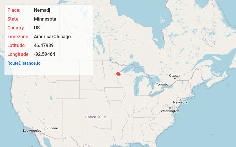
Full AddressNemadji, MN 55707
-
Coordinates46.4793896, -92.5946404
-
LocationNemadji , Minnesota , US
-
TimezoneAmerica/Chicago
-
Current Local Time1:14:02 AM America/ChicagoFriday, May 23, 2025
-
Page Views0
About Nemadji
Nemadji is an unincorporated community in Barnum Township, Carlton County, Minnesota, United States.
Carlton County Roads 8 and 11 are two of the main routes in the community.
Nemadji is located six miles east-southeast of Barnum and nine miles east-northeast of Moose Lake.
Nearby Places
Found 10 places within 50 miles

Barnum
4.8 mi
7.7 km
Barnum, MN 55707
Get directions

Mahtowa
6.8 mi
10.9 km
Mahtowa, MN
Get directions

Blackhoof
7.3 mi
11.7 km
Blackhoof, MN 55797
Get directions

Moose Lake
8.4 mi
13.5 km
Moose Lake, MN 55767
Get directions

Kerrick
9.7 mi
15.6 km
Kerrick, MN
Get directions

Sturgeon Lake
12.9 mi
20.8 km
Sturgeon Lake, MN 55783
Get directions

Kettle River
13.6 mi
21.9 km
Kettle River, MN
Get directions
Wrenshall
13.7 mi
22.0 km
Wrenshall, MN 55797
Get directions
Bruno
14.2 mi
22.9 km
Bruno, MN
Get directions

Carlton
15.1 mi
24.3 km
Carlton, MN
Get directions
Location Links
Local Weather
Weather Information
Coming soon!
Location Map
Static map view of Nemadji, Minnesota
Browse Places by Distance
Places within specific distances from Nemadji
Short Distances
Long Distances
Click any distance to see all places within that range from Nemadji. Distances shown in miles (1 mile ≈ 1.61 kilometers).