Distance to Neola, Kansas

Calculating Your Route
Just a moment while we process your request...
Location Information
-
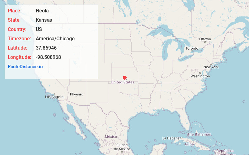
Full AddressNeola, York Township, KS 67583
-
Coordinates37.8694604, -98.5089677
-
LocationYork Township , Kansas , US
-
TimezoneAmerica/Chicago
-
Current Local Time8:02:10 AM America/ChicagoSaturday, June 21, 2025
-
Page Views0
About Neola
Neola is an unincorporated community in Stafford County, Kansas, United States. It is located southeast of Stafford, next to a former railroad at SE 130th Ave and Neola Rd.
Nearby Places
Found 10 places within 50 miles

Zenith
6.0 mi
9.7 km
Zenith, KS 67578
Get directions

Turon
6.2 mi
10.0 km
Turon, KS 67583
Get directions
Preston
8.0 mi
12.9 km
Preston, KS 67583
Get directions

Stafford
8.1 mi
13.0 km
Stafford, KS 67578
Get directions

Sylvia
8.2 mi
13.2 km
Sylvia, KS 67581
Get directions
Langdon
10.1 mi
16.3 km
Langdon, KS 67583
Get directions
Plevna
13.0 mi
20.9 km
Plevna, KS 67568
Get directions
Natrona
13.8 mi
22.2 km
Natrona, Township 6, KS 67583
Get directions
Lerado
13.9 mi
22.4 km
Lerado, Bell Township, KS 67583
Get directions
Penalosa
14.8 mi
23.8 km
Penalosa, KS 67035
Get directions
Location Links
Local Weather
Weather Information
Coming soon!
Location Map
Static map view of Neola, Kansas
Browse Places by Distance
Places within specific distances from Neola
Short Distances
Long Distances
Click any distance to see all places within that range from Neola. Distances shown in miles (1 mile ≈ 1.61 kilometers).