Distance to Nescatunga, Oklahoma

Calculating Your Route
Just a moment while we process your request...
Location Information
-
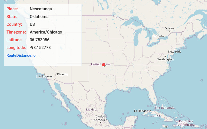
Full AddressNescatunga, OK 73749
-
Coordinates36.7530556, -98.1527778
-
LocationNescatunga , Oklahoma , US
-
TimezoneAmerica/Chicago
-
Current Local Time4:57:59 PM America/ChicagoThursday, June 19, 2025
-
Page Views0
About Nescatunga
Nescatunga is an unincorporated census-designated place in Alfalfa County, Oklahoma, United States adjacent to Great Salt Plains State Park. The population was 90 at the time of the 2020 Census, up from the population of 70 reported in the 2010 census.
Nearby Places
Found 10 places within 50 miles

Jet
6.2 mi
10.0 km
Jet, OK 73749
Get directions

Cherokee
11.3 mi
18.2 km
Cherokee, OK 73728
Get directions

Goltry
15.2 mi
24.5 km
Goltry, OK 73739
Get directions

Wakita
15.6 mi
25.1 km
Wakita, OK 73771
Get directions

Helena
15.7 mi
25.3 km
Helena, OK 73741
Get directions

Manchester
17.8 mi
28.6 km
Manchester, OK 73758
Get directions

Burlington
18.1 mi
29.1 km
Burlington, OK 73722
Get directions

Pond Creek
20.3 mi
32.7 km
Pond Creek, OK 73766
Get directions
Carmen
21.0 mi
33.8 km
Carmen, OK 73726
Get directions
Kremlin
22.8 mi
36.7 km
Kremlin, OK 73753
Get directions
Location Links
Local Weather
Weather Information
Coming soon!
Location Map
Static map view of Nescatunga, Oklahoma
Browse Places by Distance
Places within specific distances from Nescatunga
Short Distances
Long Distances
Click any distance to see all places within that range from Nescatunga. Distances shown in miles (1 mile ≈ 1.61 kilometers).