Distance to Goltry, Oklahoma

Calculating Your Route
Just a moment while we process your request...
Location Information
-
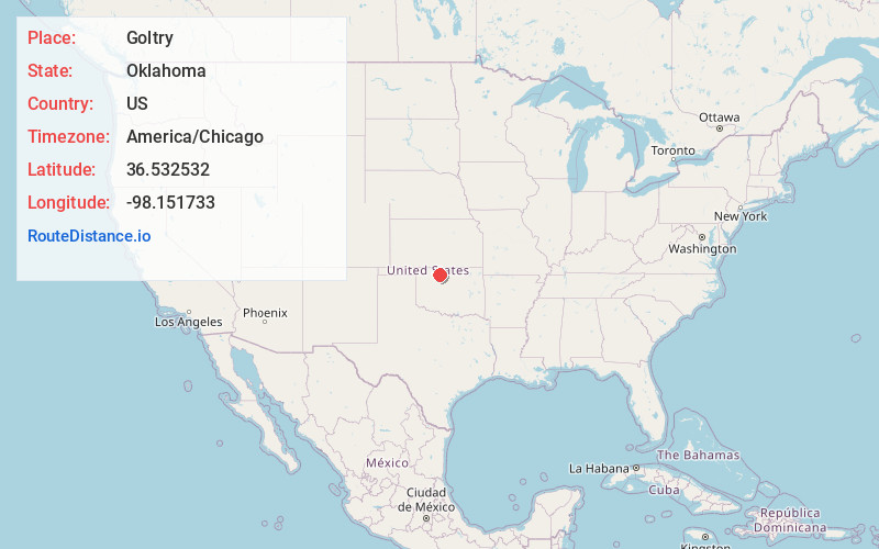
Full AddressGoltry, OK 73739
-
Coordinates36.532532, -98.1517334
-
LocationGoltry , Oklahoma , US
-
TimezoneAmerica/Chicago
-
Current Local Time2:25:32 AM America/ChicagoFriday, June 20, 2025
-
Page Views0
About Goltry
Goltry is an incorporated rural small town in Alfalfa County, Oklahoma, United States. The population was 249 at the 2010 census.
Located there are a town hall, a post office, a farmer's co-op with gas service, a fire department, and a bank, with several blocks of homes.

Nearby Places
Found 10 places within 50 miles

Helena
6.6 mi
10.6 km
Helena, OK 73741
Get directions

Lahoma
10.6 mi
17.1 km
Lahoma, OK 73754
Get directions

Ringwood
11.8 mi
19.0 km
Ringwood, OK 73768
Get directions

North Enid
17.1 mi
27.5 km
North Enid, OK 73701
Get directions
Drummond
17.3 mi
27.8 km
Drummond, OK 73735
Get directions
Carmen
17.5 mi
28.2 km
Carmen, OK 73726
Get directions
Kremlin
17.8 mi
28.6 km
Kremlin, OK 73753
Get directions

Enid
17.9 mi
28.8 km
Enid, OK
Get directions

Cleo Springs
18.3 mi
29.5 km
Cleo Springs, OK 73729
Get directions

Cherokee
19.1 mi
30.7 km
Cherokee, OK 73728
Get directions
Location Links
Local Weather
Weather Information
Coming soon!
Location Map
Static map view of Goltry, Oklahoma
Browse Places by Distance
Places within specific distances from Goltry
Short Distances
Long Distances
Click any distance to see all places within that range from Goltry. Distances shown in miles (1 mile ≈ 1.61 kilometers).