Distance to Cleo Springs, Oklahoma

Calculating Your Route
Just a moment while we process your request...
Location Information
-
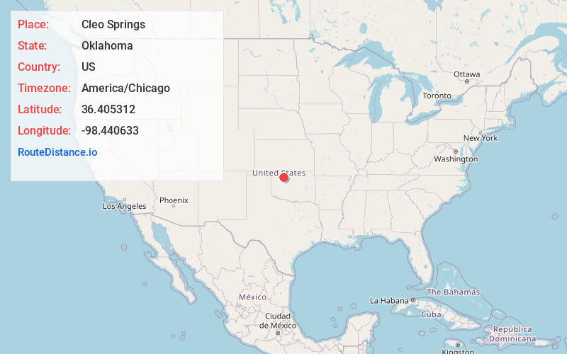
Full AddressCleo Springs, OK 73729
-
Coordinates36.405312, -98.4406325
-
LocationCleo Springs , Oklahoma , US
-
TimezoneAmerica/Chicago
-
Current Local Time10:06:34 PM America/ChicagoWednesday, July 2, 2025
-
Page Views0
About Cleo Springs
Cleo Springs is a town in Major County, Oklahoma, United States. The population was 287 at the time of the 2020 Census.


Nearby Places
Found 10 places within 50 miles

Fairview
9.7 mi
15.6 km
Fairview, OK 73737
Get directions

Ringwood
11.0 mi
17.7 km
Ringwood, OK 73768
Get directions

Helena
13.6 mi
21.9 km
Helena, OK 73741
Get directions

Lahoma
19.6 mi
31.5 km
Lahoma, OK 73754
Get directions

Okeene
21.1 mi
34.0 km
Okeene, OK 73763
Get directions

Drummond
23.7 mi
38.1 km
Drummond, OK 73735
Get directions

Cherokee
24.6 mi
39.6 km
Cherokee, OK 73728
Get directions

Canton
25.7 mi
41.4 km
Canton, OK 73724
Get directions

Waynoka
27.3 mi
43.9 km
Waynoka, OK 73860
Get directions

Alva
30.3 mi
48.8 km
Alva, OK 73717
Get directions
Location Links
Local Weather
Weather Information
Coming soon!
Location Map
Static map view of Cleo Springs, Oklahoma
Browse Places by Distance
Places within specific distances from Cleo Springs
Short Distances
Long Distances
Click any distance to see all places within that range from Cleo Springs. Distances shown in miles (1 mile ≈ 1.61 kilometers).