Distance to and from New Belden, North Carolina
New Belden, NC 27834
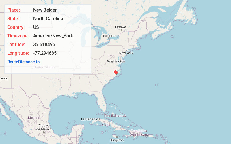
North Carolina
US
America/New_York
Location Information
-
Full AddressNew Belden, NC 27834
-
Coordinates35.6184945, -77.294685
-
LocationNorth Carolina , US
-
TimezoneAmerica/New_York
-
Current Local Time5:02:02 PM America/New_YorkFriday, May 2, 2025
-
Page Views0
Directions to Nearest Cities
Nearby Places
Found 10 places within 50 miles

Simpson
3.1 mi
5.0 km
Simpson, NC
Get directions
Camelot
3.6 mi
5.8 km
Camelot, NC 27858
Get directions
Dellwood
3.8 mi
6.1 km
Dellwood, Greenville, NC 27858
Get directions
Rock Springs
4.2 mi
6.8 km
Rock Springs, Greenville, NC 27858
Get directions

Greenville
4.5 mi
7.2 km
Greenville, NC
Get directions
House
4.7 mi
7.6 km
House, NC 27834
Get directions
Galloway Crossroads
5.3 mi
8.5 km
Galloway Crossroads, NC 27858
Get directions
Staton
5.9 mi
9.5 km
Staton, NC 27834
Get directions

Grimesland
6.9 mi
11.1 km
Grimesland, NC 27837
Get directions
Stokes
6.9 mi
11.1 km
Stokes, NC 27884
Get directions
Simpson
3.1 mi
5.0 km
Simpson, NC
Camelot
3.6 mi
5.8 km
Camelot, NC 27858
Dellwood
3.8 mi
6.1 km
Dellwood, Greenville, NC 27858
Rock Springs
4.2 mi
6.8 km
Rock Springs, Greenville, NC 27858
Greenville
4.5 mi
7.2 km
Greenville, NC
House
4.7 mi
7.6 km
House, NC 27834
Galloway Crossroads
5.3 mi
8.5 km
Galloway Crossroads, NC 27858
Staton
5.9 mi
9.5 km
Staton, NC 27834
Grimesland
6.9 mi
11.1 km
Grimesland, NC 27837
Stokes
6.9 mi
11.1 km
Stokes, NC 27884
Location Links
Local Weather
Weather Information
Coming soon!
Location Map
Static map view of New Belden, North Carolina
Browse Places by Distance
Places within specific distances from New Belden
Short Distances
Long Distances
Click any distance to see all places within that range from New Belden. Distances shown in miles (1 mile ≈ 1.61 kilometers).