Distance to New Castle, Alabama

Calculating Your Route
Just a moment while we process your request...
Location Information
-
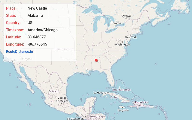
Full AddressNew Castle, Gardendale, AL
-
Coordinates33.6468773, -86.7705452
-
NeighborhoodNew Castle
-
LocationGardendale , Alabama , US
-
TimezoneAmerica/Chicago
-
Current Local Time7:43:29 AM America/ChicagoFriday, May 30, 2025
-
Page Views0
About New Castle
New Castle is an unincorporated community in Jefferson County, Alabama, United States. New Castle is 9 miles north of downtown Birmingham. New Castle has a post office with ZIP code 35119. New Castle was formerly home to coal mines operated by John T. Milner.
Nearby Places
Found 10 places within 50 miles

Humoro
2.0 mi
3.2 km
Humoro, Tarrant, AL 35217
Get directions

Gardendale
2.6 mi
4.2 km
Gardendale, AL
Get directions
Ketona
2.9 mi
4.7 km
Ketona, Tarrant, AL 35217
Get directions

Fultondale
2.9 mi
4.7 km
Fultondale, AL
Get directions

Tarrant
4.2 mi
6.8 km
Tarrant, AL 35217
Get directions
Forest Acres
4.9 mi
7.9 km
Forest Acres, Center Point, AL 35215
Get directions
Fieldstown
4.9 mi
7.9 km
Fieldstown, AL 35071
Get directions

Center Point
5.0 mi
8.0 km
Center Point, AL 35215
Get directions

Mt Olive
5.2 mi
8.4 km
Mt Olive, AL
Get directions
East Haven
5.2 mi
8.4 km
East Haven, Center Point, AL 35215
Get directions
Location Links
Local Weather
Weather Information
Coming soon!
Location Map
Static map view of New Castle, Alabama
Browse Places by Distance
Places within specific distances from New Castle
Short Distances
Long Distances
Click any distance to see all places within that range from New Castle. Distances shown in miles (1 mile ≈ 1.61 kilometers).