Distance to New Dover, Ohio

Calculating Your Route
Just a moment while we process your request...
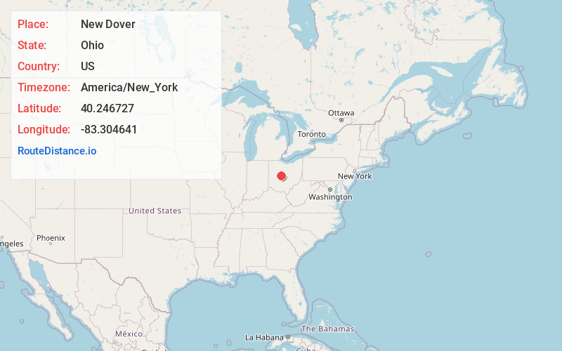
Location Information
-
Full AddressNew Dover, Dover Township, OH 43040
-
Coordinates40.246727, -83.3046411
-
LocationDover Township , Ohio , US
-
TimezoneAmerica/New_York
-
Current Local Time3:12:56 PM America/New_YorkSunday, June 29, 2025
-
Page Views0
About New Dover
New Dover is an unincorporated community in Dover Township, Union County, Ohio, United States. It is located along U.S. Route 36, about three miles east of Marysville.
New Dover was originally called Dover, and under the latter name was laid out and platted in 1854.
Nearby Places
Found 10 places within 50 miles

Dipple
3.1 mi
5.0 km
Dipple, Marysville, OH 43040
Get directions
Fleetwood Park
3.2 mi
5.1 km
Fleetwood Park, Marysville, OH 43040
Get directions

Marysville
3.4 mi
5.5 km
Marysville, OH 43040
Get directions
Watkins
3.9 mi
6.3 km
Watkins, Millcreek Township, OH 43040
Get directions

Ostrander
5.0 mi
8.0 km
Ostrander, OH 43061
Get directions
Otter
6.4 mi
10.3 km
Otter, Paris Township, OH 43040
Get directions
New California
7.3 mi
11.7 km
New California, OH 43064
Get directions

Magnetic Springs
7.7 mi
12.4 km
Magnetic Springs, OH
Get directions

Unionville Center
7.7 mi
12.4 km
Unionville Center, OH
Get directions
Arnold
7.9 mi
12.7 km
Arnold, OH 43064
Get directions
Location Links
Local Weather
Weather Information
Coming soon!
Location Map
Static map view of New Dover, Ohio
Browse Places by Distance
Places within specific distances from New Dover
Short Distances
Long Distances
Click any distance to see all places within that range from New Dover. Distances shown in miles (1 mile ≈ 1.61 kilometers).