Distance to New Lands, North Carolina

Calculating Your Route
Just a moment while we process your request...
Location Information
-
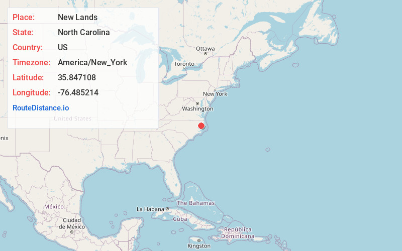
Full AddressNew Lands, North Carolina 27928
-
Coordinates35.8471083, -76.4852135
-
LocationNorth Carolina , US
-
TimezoneAmerica/New_York
-
Current Local Time10:37:15 AM America/New_YorkTuesday, June 17, 2025
-
Page Views0
Nearby Places
Found 10 places within 50 miles

Creswell
5.5 mi
8.9 km
Creswell, NC 27928
Get directions

Davenport Forks
5.7 mi
9.2 km
Davenport Forks, NC 27928
Get directions
Galilee Mission
6.0 mi
9.7 km
Galilee Mission, NC 27928
Get directions
Skinnersville
7.0 mi
11.3 km
Skinnersville, NC 27970
Get directions

Roper
7.6 mi
12.2 km
Roper, NC 27970
Get directions
Pea Ridge
7.7 mi
12.4 km
Pea Ridge, NC 27970
Get directions
Blount
8.0 mi
12.9 km
Blount, NC 27970
Get directions
Woodley
8.2 mi
13.2 km
Woodley, NC 27925
Get directions
Scuppernong River
9.0 mi
14.5 km
Scuppernong River, North Carolina
Get directions
Travis
9.7 mi
15.6 km
Travis, NC 27925
Get directions
Location Links
Local Weather
Weather Information
Coming soon!
Location Map
Static map view of New Lands, North Carolina
Browse Places by Distance
Places within specific distances from New Lands
Short Distances
Long Distances
Click any distance to see all places within that range from New Lands. Distances shown in miles (1 mile ≈ 1.61 kilometers).