Distance to Pea Ridge, North Carolina

Calculating Your Route
Just a moment while we process your request...
Location Information
-
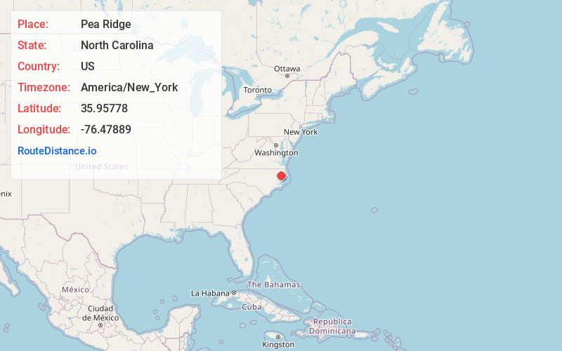
Full AddressPea Ridge, NC 27970
-
Coordinates35.95778, -76.47889
-
LocationPea Ridge , North Carolina , US
-
TimezoneAmerica/New_York
-
Current Local Time12:05:42 AM America/New_YorkWednesday, June 18, 2025
-
Page Views0
About Pea Ridge
Pea Ridge is an unincorporated community in Washington County, North Carolina, United States, on the south side of the Albemarle Sound near the Albemarle Sound Bridge.
Nearby Places
Found 10 places within 50 miles

Skinnersville
3.5 mi
5.6 km
Skinnersville, NC 27970
Get directions
Cape Colony
7.2 mi
11.6 km
Cape Colony, NC 27932
Get directions
Blount
7.4 mi
11.9 km
Blount, NC 27970
Get directions

Creswell
7.7 mi
12.4 km
Creswell, NC 27928
Get directions

Roper
9.4 mi
15.1 km
Roper, NC 27970
Get directions
Scuppernong River
9.6 mi
15.4 km
Scuppernong River, North Carolina
Get directions

Edenton
10.0 mi
16.1 km
Edenton, NC 27932
Get directions
River Neck
11.1 mi
17.9 km
River Neck, NC 27925
Get directions
Galilee Mission
12.2 mi
19.6 km
Galilee Mission, NC 27928
Get directions
Burgess
12.9 mi
20.8 km
Burgess, NC 27944
Get directions
Location Links
Local Weather
Weather Information
Coming soon!
Location Map
Static map view of Pea Ridge, North Carolina
Browse Places by Distance
Places within specific distances from Pea Ridge
Short Distances
Long Distances
Click any distance to see all places within that range from Pea Ridge. Distances shown in miles (1 mile ≈ 1.61 kilometers).