Distance to New Princeton, Oregon

Calculating Your Route
Just a moment while we process your request...
Location Information
-
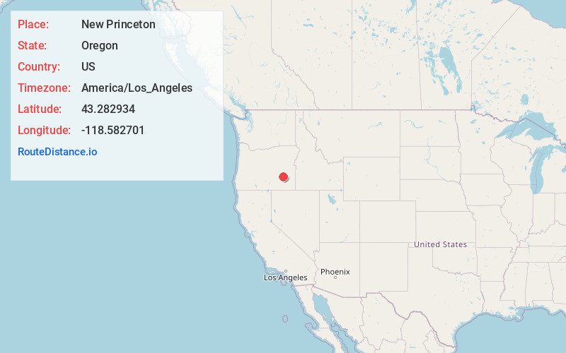
Full AddressNew Princeton, OR 97721
-
Coordinates43.2829336, -118.5827006
-
LocationNew Princeton , Oregon , US
-
TimezoneAmerica/Los_Angeles
-
Current Local Time11:42:47 PM America/Los_AngelesTuesday, June 24, 2025
-
Page Views0
About New Princeton
New Princeton is an unincorporated community in Harney County, in the U.S. state of Oregon. It is along Oregon Route 78 between Burns and Burns Junction at an elevation of 4,111 feet above sea level. The South Fork Malheur River begins near Round Mountain, southeast of New Princeton.
Nearby Places
Found 10 places within 50 miles

Crane
9.2 mi
14.8 km
Crane, OR
Get directions
Voltage
11.3 mi
18.2 km
Voltage, OR 97721
Get directions
Venator
14.7 mi
23.7 km
Venator, OR 97732
Get directions
Lawen
15.6 mi
25.1 km
Lawen, OR 97721
Get directions
Diamond
19.2 mi
30.9 km
Diamond, OR 97722
Get directions
Buchanan
24.9 mi
40.1 km
Buchanan, OR 97720
Get directions

Riverside
27.8 mi
44.7 km
Riverside, OR 97917
Get directions

Burns
31.6 mi
50.9 km
Burns, OR 97720
Get directions

Hines
31.7 mi
51.0 km
Hines, OR
Get directions

Crowley
34.7 mi
55.8 km
Crowley, OR 97906
Get directions
Location Links
Local Weather
Weather Information
Coming soon!
Location Map
Static map view of New Princeton, Oregon
Browse Places by Distance
Places within specific distances from New Princeton
Short Distances
Long Distances
Click any distance to see all places within that range from New Princeton. Distances shown in miles (1 mile ≈ 1.61 kilometers).