Distance to New Salisbury, Indiana

Calculating Your Route
Just a moment while we process your request...
Location Information
-
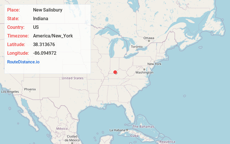
Full AddressNew Salisbury, IN 47161
-
Coordinates38.3136764, -86.0949722
-
LocationNew Salisbury , Indiana , US
-
TimezoneAmerica/New_York
-
Current Local Time1:46:53 PM America/New_YorkWednesday, June 18, 2025
-
Page Views0
About New Salisbury
New Salisbury is an unincorporated census-designated place in Jackson Township, Harrison County, Indiana, United States. As of the 2010 census it had a population of 613. The community is centered on the intersection of State Highway 135 and State Highway 64, about 7 miles away from Corydon, the county seat.

Nearby Places
Found 10 places within 50 miles

Ramsey
3.3 mi
5.3 km
Ramsey, IN
Get directions

Palmyra
6.6 mi
10.6 km
Palmyra, IN 47164
Get directions

Georgetown
6.6 mi
10.6 km
Georgetown, IN
Get directions

Greenville
7.2 mi
11.6 km
Greenville, IN 47124
Get directions

Corydon
7.2 mi
11.6 km
Corydon, IN 47112
Get directions
Lanesville
7.9 mi
12.7 km
Lanesville, IN 47136
Get directions
Galena
8.7 mi
14.0 km
Galena, IN
Get directions

Milltown
10.0 mi
16.1 km
Milltown, IN
Get directions

Floyds Knobs
12.0 mi
19.3 km
Floyds Knobs, IN
Get directions

Borden
13.3 mi
21.4 km
Borden, IN 47106
Get directions
Location Links
Local Weather
Weather Information
Coming soon!
Location Map
Static map view of New Salisbury, Indiana
Browse Places by Distance
Places within specific distances from New Salisbury
Short Distances
Long Distances
Click any distance to see all places within that range from New Salisbury. Distances shown in miles (1 mile ≈ 1.61 kilometers).