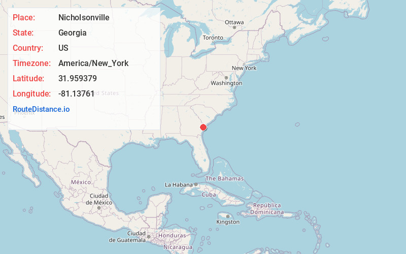
Distance to Nicholsonville, Georgia

Calculating Your Route
Just a moment while we process your request...
Location Information
-
Full AddressNicholsonville, Savannah, GA 31419
-
Coordinates31.959379, -81.1376103
-
NeighborhoodColonial Oaks
-
LocationSavannah , Georgia , US
-
TimezoneAmerica/New_York
-
Current Local Time2:37:43 AM America/New_YorkThursday, July 3, 2025
-
Page Views0
Nearby Places
Found 10 places within 50 miles

Vernonburg
1.1 mi
1.8 km
Vernonburg, GA 31419
Get directions

Montgomery
1.6 mi
2.6 km
Montgomery, GA
Get directions

Burnside
1.9 mi
3.1 km
Burnside, Montgomery, GA 31406
Get directions
Beaulieu
2.3 mi
3.7 km
Beaulieu, Montgomery, GA 31406
Get directions

Pin Point
2.7 mi
4.3 km
Pin Point, Montgomery, GA 31406
Get directions
Forest River Farms
3.1 mi
5.0 km
Forest River Farms, Savannah, GA 31409
Get directions
Vernon View
3.1 mi
5.0 km
Vernon View, Montgomery, GA 31406
Get directions
Cedar Hammock
3.4 mi
5.5 km
Cedar Hammock, GA 31406
Get directions
Grove Point
3.9 mi
6.3 km
Grove Point, GA 31419
Get directions
Sandfly
4.2 mi
6.8 km
Sandfly, GA 31406
Get directions
Location Links
Local Weather
Weather Information
Coming soon!
Location Map
Static map view of Nicholsonville, Georgia
Browse Places by Distance
Places within specific distances from Nicholsonville
Short Distances
Long Distances
Click any distance to see all places within that range from Nicholsonville. Distances shown in miles (1 mile ≈ 1.61 kilometers).