Distance to Sandfly, Georgia

Calculating Your Route
Just a moment while we process your request...
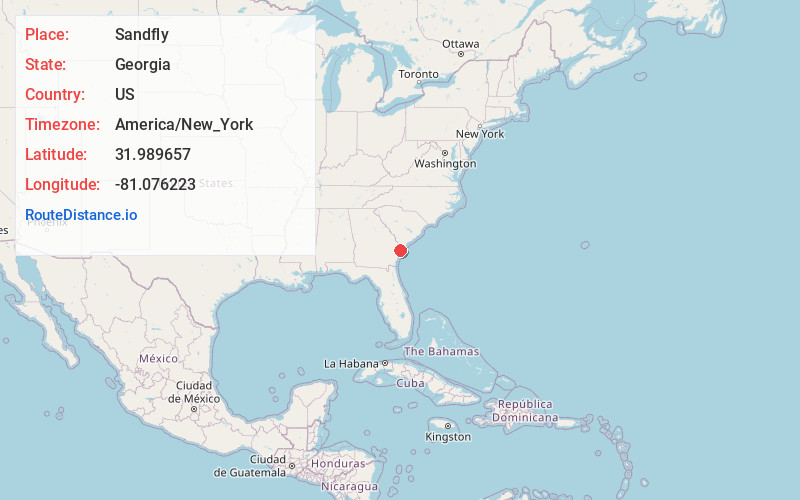
Location Information
-
Full AddressSandfly, GA 31406
-
Coordinates31.9896571, -81.0762227
-
LocationGeorgia , US
-
TimezoneAmerica/New_York
-
Current Local Time10:28:37 PM America/New_YorkTuesday, June 17, 2025
-
Page Views0
About Sandfly
Sandfly is an unincorporated community in Chatham County, Georgia, United States. It is also known as Sand Fly.
Established by African Americans in the nineteenth century, Sandfly is centered around the intersection of Montgomery Crossroad and Skidaway road.
Nearby Places
Found 10 places within 50 miles

Bakers Crossing
0.3 mi
0.5 km
Bakers Crossing, GA 31406
Get directions
Harrock Hall
0.6 mi
1.0 km
Harrock Hall, GA 31406
Get directions
Lakeside Park
0.8 mi
1.3 km
Lakeside Park, GA 31406
Get directions

Isle of Hope
1.0 mi
1.6 km
Isle of Hope, GA 31406
Get directions
Dutch Island
2.4 mi
3.9 km
Dutch Island, GA 31406
Get directions

Pin Point
2.7 mi
4.3 km
Pin Point, Montgomery, GA 31406
Get directions

Vernonburg
3.1 mi
5.0 km
Vernonburg, GA 31419
Get directions

Thunderbolt
3.4 mi
5.5 km
Thunderbolt, GA
Get directions

Skidaway Island
4.1 mi
6.6 km
Skidaway Island, GA
Get directions

Montgomery
4.3 mi
6.9 km
Montgomery, GA
Get directions
Location Links
Local Weather
Weather Information
Coming soon!
Location Map
Static map view of Sandfly, Georgia
Browse Places by Distance
Places within specific distances from Sandfly
Short Distances
Long Distances
Click any distance to see all places within that range from Sandfly. Distances shown in miles (1 mile ≈ 1.61 kilometers).