Distance to North Foster, Rhode Island

Calculating Your Route
Just a moment while we process your request...
Location Information
-
Full AddressNorth Foster, Foster, RI 02825
-
Coordinates41.8314878, -71.7506248
-
LocationFoster , Rhode Island , US
-
TimezoneAmerica/New_York
-
Current Local Time4:51:35 PM America/New_YorkWednesday, June 4, 2025
-
Page Views0
Nearby Places
Found 10 places within 50 miles

Foster
1.6 mi
2.6 km
Foster, RI
Get directions

South Foster
2.5 mi
4.0 km
South Foster, Foster, RI 02825
Get directions
Chopmist
4.2 mi
6.8 km
Chopmist, Scituate, RI 02857
Get directions

Glocester
5.9 mi
9.5 km
Glocester, RI
Get directions

Pineville
6.3 mi
10.1 km
Pineville, Killingly, CT 06241
Get directions
Elmville
6.5 mi
10.5 km
Elmville, Killingly, CT 06239
Get directions

Killingly
6.5 mi
10.5 km
Killingly, CT
Get directions
Moosup Valley
6.5 mi
10.5 km
Moosup Valley, Foster, RI 02825
Get directions

Scituate
7.2 mi
11.6 km
Scituate, RI
Get directions

Danielson, CT
7.5 mi
12.1 km
Danielson, CT, CT
Get directions
Location Links
Local Weather
Weather Information
Coming soon!
Location Map
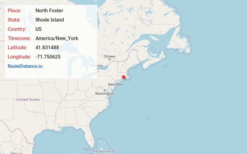
Static map view of North Foster, Rhode Island
Browse Places by Distance
Places within specific distances from North Foster
Short Distances
Long Distances
Click any distance to see all places within that range from North Foster. Distances shown in miles (1 mile ≈ 1.61 kilometers).