Distance to Norwood, New York

Calculating Your Route
Just a moment while we process your request...
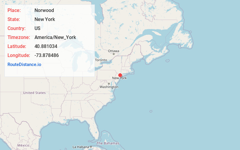
Location Information
-
Full AddressNorwood, Bronx, NY
-
Coordinates40.8810341, -73.878486
-
NeighborhoodNorwood
-
LocationBronx , New York , US
-
TimezoneAmerica/New_York
-
Current Local Time12:34:56 AM America/New_YorkFriday, May 30, 2025
-
Page Views0
About Norwood
Norwood, also known as Bainbridge, is a residential neighborhood in the northwest Bronx, New York City, U.S. It is bound by Van Cortlandt Park and Woodlawn Cemetery to the north, the Bronx River to the east, and Mosholu Parkway to the southwest.


Nearby Places
Found 10 places within 50 miles

Bronx
2.6 mi
4.2 km
Bronx, NY
Get directions

Mt Vernon
3.1 mi
5.0 km
Mt Vernon, NY
Get directions

Yonkers
3.7 mi
6.0 km
Yonkers, NY
Get directions

Englewood Cliffs
3.8 mi
6.1 km
Englewood Cliffs, NJ 07632
Get directions

Pelham Manor
3.9 mi
6.3 km
Pelham Manor, NY
Get directions

Bronxville
4.6 mi
7.4 km
Bronxville, NY 10708
Get directions

Englewood
5.1 mi
8.2 km
Englewood, NJ 07631
Get directions

Fort Lee
5.3 mi
8.5 km
Fort Lee, NJ
Get directions

Tenafly
5.4 mi
8.7 km
Tenafly, NJ 07670
Get directions

Alpine
5.4 mi
8.7 km
Alpine, NJ
Get directions
Location Links
Local Weather
Weather Information
Coming soon!
Location Map
Static map view of Norwood, New York
Browse Places by Distance
Places within specific distances from Norwood
Short Distances
Long Distances
Click any distance to see all places within that range from Norwood. Distances shown in miles (1 mile ≈ 1.61 kilometers).