Distance to Nottinghill, Missouri

Calculating Your Route
Just a moment while we process your request...
Location Information
-
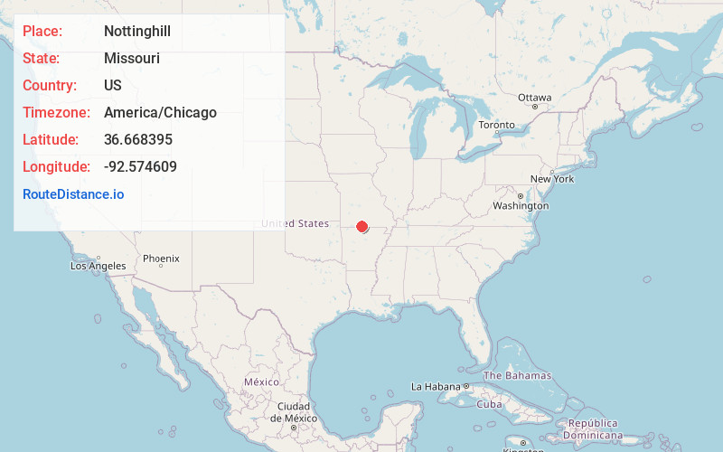
Full AddressNottinghill, MO 65762
-
Coordinates36.6683948, -92.5746094
-
LocationNottinghill , Missouri , US
-
TimezoneAmerica/Chicago
-
Current Local Time2:24:38 PM America/ChicagoFriday, June 20, 2025
-
Page Views0
About Nottinghill
Nottinghill is an unincorporated community in Ozark County, Missouri, United States. It is located on Missouri Supplemental Route Z, nine miles northwest of Gainesville.
The community was named after Notting Hill, in London, the former home of a first settler.
Nearby Places
Found 10 places within 50 miles

Hammond
3.9 mi
6.3 km
Hammond, Thornfield Township, MO 65762
Get directions

Sundown
7.9 mi
12.7 km
Sundown, MO
Get directions

Theodosia
8.2 mi
13.2 km
Theodosia, MO 65761
Get directions
Wasola
8.7 mi
14.0 km
Wasola, MO 65773
Get directions

Gainesville
9.3 mi
15.0 km
Gainesville, MO 65655
Get directions

Pontiac
10.7 mi
17.2 km
Pontiac, MO 65729
Get directions
Girdner
12.8 mi
20.6 km
Girdner, Walls Township, MO 65755
Get directions
Squires
13.0 mi
20.9 km
Squires, MO 65608
Get directions
Mammoth
13.3 mi
21.4 km
Mammoth, Bridges Township, MO 65655
Get directions

Oakland
14.3 mi
23.0 km
Oakland, AR 72661
Get directions
Location Links
Local Weather
Weather Information
Coming soon!
Location Map
Static map view of Nottinghill, Missouri
Browse Places by Distance
Places within specific distances from Nottinghill
Short Distances
Long Distances
Click any distance to see all places within that range from Nottinghill. Distances shown in miles (1 mile ≈ 1.61 kilometers).