Distance to Oak Grove, Georgia

Calculating Your Route
Just a moment while we process your request...
Location Information
-
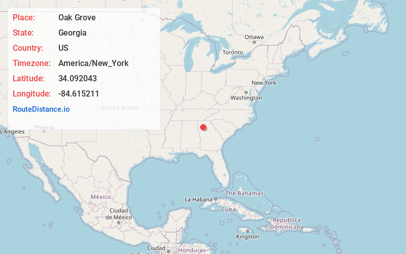
Full AddressOak Grove, GA 30102
-
Coordinates34.0920432, -84.6152113
-
LocationOak Grove , Georgia , US
-
TimezoneAmerica/New_York
-
Current Local Time8:41:08 PM America/New_YorkWednesday, July 2, 2025
-
Page Views0
About Oak Grove
Oak Grove is an unincorporated community in southern Cherokee County, Georgia, United States, near the intersection of Bells Ferry Road and Georgia 92. Some maps instead center it at 92 and Wade Green Road, just to the west.
The name is no longer commonly used to refer to the surrounding area.


Nearby Places
Found 10 places within 50 miles

Acworth
4.0 mi
6.4 km
Acworth, GA
Get directions

Kennesaw
4.7 mi
7.6 km
Kennesaw, GA
Get directions

Woodstock
5.5 mi
8.9 km
Woodstock, GA
Get directions

Emerson
8.3 mi
13.4 km
Emerson, GA
Get directions

Holly Springs
8.6 mi
13.8 km
Holly Springs, GA
Get directions
Oakton
8.9 mi
14.3 km
Oakton, Marietta, GA 30064
Get directions

Marietta
10.3 mi
16.6 km
Marietta, GA
Get directions

Little River
11.5 mi
18.5 km
Little River, Georgia
Get directions

Mountain Park
11.5 mi
18.5 km
Mountain Park, GA
Get directions

Cartersville
11.7 mi
18.8 km
Cartersville, GA
Get directions
Location Links
Local Weather
Weather Information
Coming soon!
Location Map
Static map view of Oak Grove, Georgia
Browse Places by Distance
Places within specific distances from Oak Grove
Short Distances
Long Distances
Click any distance to see all places within that range from Oak Grove. Distances shown in miles (1 mile ≈ 1.61 kilometers).