Distance to Oakland, Nebraska

Calculating Your Route
Just a moment while we process your request...
Location Information
-
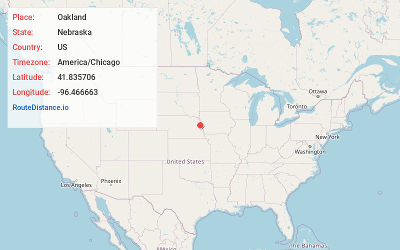
Full AddressOakland, NE 68045
-
Coordinates41.8357057, -96.4666634
-
LocationOakland , Nebraska , US
-
TimezoneAmerica/Chicago
-
Current Local Time5:48:38 PM America/ChicagoThursday, June 5, 2025
-
Website
-
Page Views0
About Oakland
Oakland is a city in Burt County, Nebraska, United States. The population was 1,244 at the 2010 census.


Nearby Places
Found 10 places within 50 miles

West Point
12.5 mi
20.1 km
West Point, NE 68788
Get directions

Tekamah
13.3 mi
21.4 km
Tekamah, NE 68061
Get directions

Onawa
23.1 mi
37.2 km
Onawa, IA 51040
Get directions

Blair
26.4 mi
42.5 km
Blair, NE 68008
Get directions

Fremont
27.8 mi
44.7 km
Fremont, NE 68025
Get directions

Missouri Valley
35.6 mi
57.3 km
Missouri Valley, IA 51555
Get directions

Bennington
36.2 mi
58.3 km
Bennington, NE 68007
Get directions

Valley
36.7 mi
59.1 km
Valley, NE
Get directions

Wayne
39.3 mi
63.2 km
Wayne, NE 68787
Get directions

Sergeant Bluff
39.6 mi
63.7 km
Sergeant Bluff, IA
Get directions
Location Links
Local Weather
Weather Information
Coming soon!
Location Map
Static map view of Oakland, Nebraska
Browse Places by Distance
Places within specific distances from Oakland
Short Distances
Long Distances
Click any distance to see all places within that range from Oakland. Distances shown in miles (1 mile ≈ 1.61 kilometers).