Distance to Ocala, Nevada

Calculating Your Route
Just a moment while we process your request...
Location Information
-
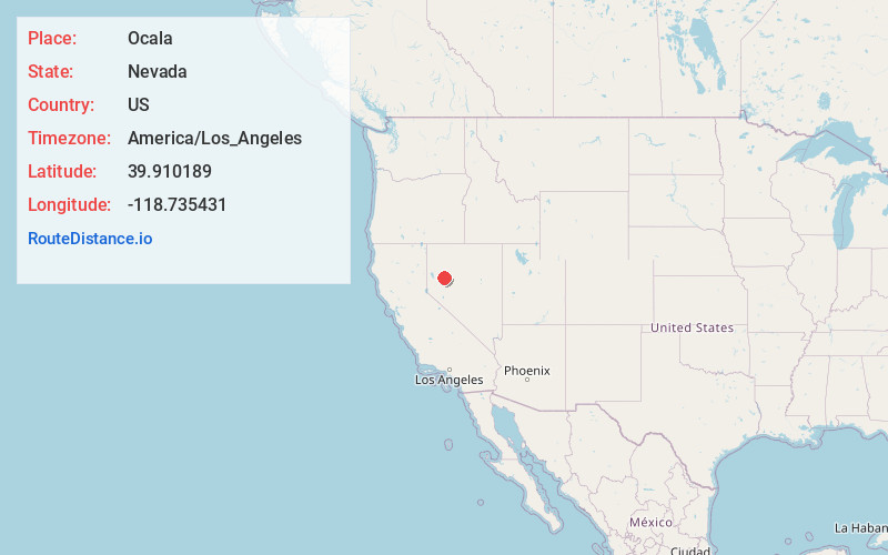
Full AddressOcala, NV
-
Coordinates39.9101893, -118.7354308
-
LocationNevada , US
-
TimezoneAmerica/Los_Angeles
-
Current Local Time2:33:06 PM America/Los_AngelesWednesday, June 25, 2025
-
Page Views0
Nearby Places
Found 10 places within 50 miles

Huxley
3.4 mi
5.5 km
Huxley, NV
Get directions
Miriam
4.2 mi
6.8 km
Miriam, NV
Get directions
Parran
7.8 mi
12.6 km
Parran, NV 89406
Get directions

Jessup
7.8 mi
12.6 km
Jessup, NV
Get directions

Toulon
11.6 mi
18.7 km
Toulon, NV 89419
Get directions
Granite Point
15.3 mi
24.6 km
Granite Point, NV 89419
Get directions
Perth
19.1 mi
30.7 km
Perth, NV 89419
Get directions

Churchill County
21.6 mi
34.8 km
Churchill County, NV
Get directions

Lovelock
23.2 mi
37.3 km
Lovelock, NV 89419
Get directions

Nightingale
26.9 mi
43.3 km
Nightingale, NV
Get directions
Location Links
Local Weather
Weather Information
Coming soon!
Location Map
Static map view of Ocala, Nevada
Browse Places by Distance
Places within specific distances from Ocala
Short Distances
Long Distances
Click any distance to see all places within that range from Ocala. Distances shown in miles (1 mile ≈ 1.61 kilometers).