Distance to Okatie, South Carolina

Calculating Your Route
Just a moment while we process your request...
Location Information
-
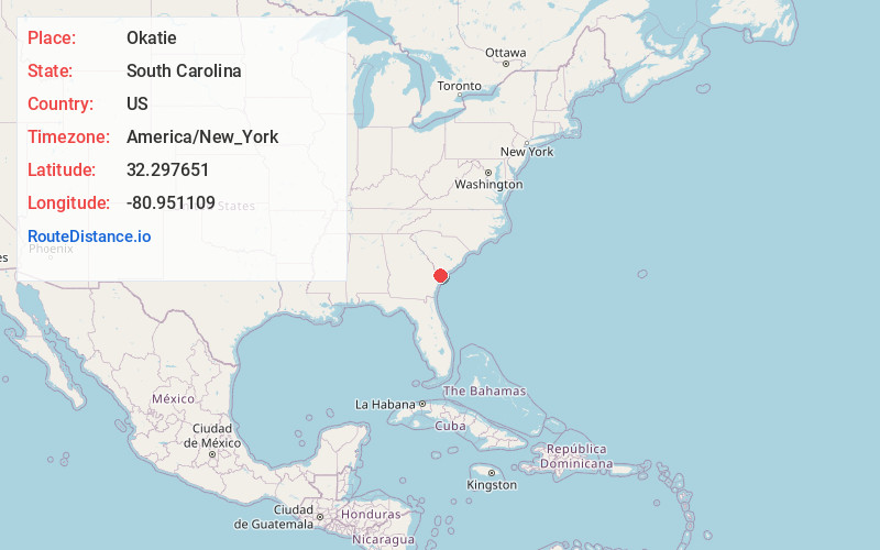
Full AddressOkatie, SC 29909
-
Coordinates32.2976506, -80.9511087
-
NeighborhoodSun City Hilton Head
-
LocationOkatie , South Carolina , US
-
TimezoneAmerica/New_York
-
Current Local Time3:33:28 AM America/New_YorkSaturday, May 31, 2025
-
Page Views0
About Okatie
Okatie is an unincorporated suburban community west of Hilton Head Island, located in Beaufort and Jasper counties, in the Lowcountry of South Carolina. Okatie takes its name from the nearby Okatee River, an estuary of the Port Royal Sound.
Nearby Places
Found 10 places within 50 miles

Pinckney Colony
3.4 mi
5.5 km
Pinckney Colony, SC 29909
Get directions
Pritchardville
4.2 mi
6.8 km
Pritchardville, SC 29910
Get directions
Baileys Landing
5.0 mi
8.0 km
Baileys Landing, SC 29909
Get directions

Bluffton
6.8 mi
10.9 km
Bluffton, SC
Get directions
Fripp Landing
7.3 mi
11.7 km
Fripp Landing, SC 29909
Get directions

Hardeeville
7.6 mi
12.2 km
Hardeeville, SC
Get directions

Brighton Beach
8.3 mi
13.4 km
Brighton Beach, SC 29910
Get directions
Switzerland
9.6 mi
15.4 km
Switzerland, SC 29936
Get directions
Purrysburg
9.8 mi
15.8 km
Purrysburg, SC 29927
Get directions
Mill Stone Landing
9.9 mi
15.9 km
Mill Stone Landing, Hardeeville, SC 29927
Get directions
Location Links
Local Weather
Weather Information
Coming soon!
Location Map
Static map view of Okatie, South Carolina
Browse Places by Distance
Places within specific distances from Okatie
Short Distances
Long Distances
Click any distance to see all places within that range from Okatie. Distances shown in miles (1 mile ≈ 1.61 kilometers).