Distance to Baileys Landing, South Carolina

Calculating Your Route
Just a moment while we process your request...
Location Information
-
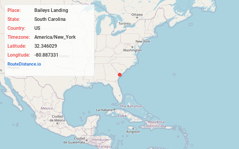
Full AddressBaileys Landing, SC 29909
-
Coordinates32.3460291, -80.8873307
-
LocationSouth Carolina , US
-
TimezoneAmerica/New_York
-
Current Local Time2:33:14 PM America/New_YorkWednesday, June 18, 2025
-
Page Views0
Nearby Places
Found 10 places within 50 miles

Fripp Landing
2.4 mi
3.9 km
Fripp Landing, SC 29909
Get directions

Bluffton
7.7 mi
12.4 km
Bluffton, SC
Get directions

Shell Point
8.3 mi
13.4 km
Shell Point, SC
Get directions
Pritchardville
8.7 mi
14.0 km
Pritchardville, SC 29910
Get directions

Brighton Beach
9.3 mi
15.0 km
Brighton Beach, SC 29910
Get directions
Grahamville
9.9 mi
15.9 km
Grahamville, Ridgeland, SC 29936
Get directions

Laurel Bay
10.2 mi
16.4 km
Laurel Bay, SC 29906
Get directions

Ridgeland
10.8 mi
17.4 km
Ridgeland, SC 29936
Get directions
Burton
11.4 mi
18.3 km
Burton, SC
Get directions

Port Royal
11.6 mi
18.7 km
Port Royal, SC
Get directions
Location Links
Local Weather
Weather Information
Coming soon!
Location Map
Static map view of Baileys Landing, South Carolina
Browse Places by Distance
Places within specific distances from Baileys Landing
Short Distances
Long Distances
Click any distance to see all places within that range from Baileys Landing. Distances shown in miles (1 mile ≈ 1.61 kilometers).