Distance to Okeelanta, Florida

Calculating Your Route
Just a moment while we process your request...
Location Information
-
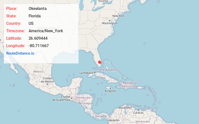
Full AddressOkeelanta, FL 33493
-
Coordinates26.609444, -80.711667
-
LocationOkeelanta , Florida , US
-
TimezoneAmerica/New_York
-
Current Local Time5:35:46 AM America/New_YorkWednesday, June 18, 2025
-
Page Views0
About Okeelanta
Okeelanta is an unincorporated community in Palm Beach County, Florida, United States, located approximately 4 miles south of South Bay on U.S. Route 27 at County Road 827. It was originally developed as a planned community in the 1910s, but had effectively disappeared by the end of the 1920s.


Nearby Places
Found 10 places within 50 miles

South Bay
3.8 mi
6.1 km
South Bay, FL 33493
Get directions

Belle Glade
5.9 mi
9.5 km
Belle Glade, FL
Get directions

Lake Harbor
8.6 mi
13.8 km
Lake Harbor, FL
Get directions

Keela
11.7 mi
18.8 km
Keela, FL 33440
Get directions

Pahokee
14.8 mi
23.8 km
Pahokee, FL 33476
Get directions

Clewiston
17.0 mi
27.4 km
Clewiston, FL 33440
Get directions

Harlem
17.2 mi
27.7 km
Harlem, FL 33440
Get directions

Canal Point
17.9 mi
28.8 km
Canal Point, FL
Get directions

Wellington
27.6 mi
44.4 km
Wellington, FL
Get directions

Moore Haven
28.2 mi
45.4 km
Moore Haven, FL 33471
Get directions
Location Links
Local Weather
Weather Information
Coming soon!
Location Map
Static map view of Okeelanta, Florida
Browse Places by Distance
Places within specific distances from Okeelanta
Short Distances
Long Distances
Click any distance to see all places within that range from Okeelanta. Distances shown in miles (1 mile ≈ 1.61 kilometers).