Distance to Oklaunion, Texas

Calculating Your Route
Just a moment while we process your request...
Location Information
-
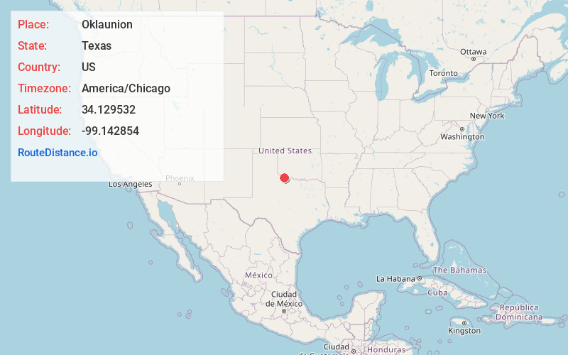
Full AddressOklaunion, TX 76373
-
Coordinates34.1295324, -99.1428544
-
LocationOklaunion , Texas , US
-
TimezoneAmerica/Chicago
-
Current Local Time4:31:17 AM America/ChicagoSunday, June 1, 2025
-
Page Views0
About Oklaunion
Oklaunion is an unincorporated community in Wilbarger County, Texas, United States. According to the Handbook of Texas, the community had an estimated population of 138 in 2000.
Nearby Places
Found 10 places within 50 miles

Harrold
7.2 mi
11.6 km
Harrold, TX
Get directions

Vernon
7.2 mi
11.6 km
Vernon, TX 76384
Get directions

Davidson
8.6 mi
13.8 km
Davidson, OK 73530
Get directions
Lockett
13.9 mi
22.4 km
Lockett, TX 76384
Get directions

Electra
14.6 mi
23.5 km
Electra, TX 76360
Get directions

Frederick
19.5 mi
31.4 km
Frederick, OK 73542
Get directions

Chillicothe
23.1 mi
37.2 km
Chillicothe, TX 79225
Get directions

Tipton
25.8 mi
41.5 km
Tipton, OK
Get directions

Grandfield
27.1 mi
43.6 km
Grandfield, OK 73546
Get directions

Manitou
27.7 mi
44.6 km
Manitou, OK 73555
Get directions
Location Links
Local Weather
Weather Information
Coming soon!
Location Map
Static map view of Oklaunion, Texas
Browse Places by Distance
Places within specific distances from Oklaunion
Short Distances
Long Distances
Click any distance to see all places within that range from Oklaunion. Distances shown in miles (1 mile ≈ 1.61 kilometers).