Distance to Old Mill Gardens, Michigan

Calculating Your Route
Just a moment while we process your request...
Location Information
-
Full AddressOld Mill Gardens, Battle Creek, MI 49015
-
Coordinates42.268098, -85.1988794
-
LocationBattle Creek , Michigan , US
-
TimezoneAmerica/Detroit
-
Current Local Time12:40:05 PM America/DetroitFriday, May 30, 2025
-
Page Views0
Nearby Places
Found 10 places within 50 miles

Sunrise Heights
2.5 mi
4.0 km
Sunrise Heights, Emmett Township, MI 49014
Get directions
Sonoma
2.9 mi
4.7 km
Sonoma, Leroy Township, MI 49051
Get directions

Battle Creek
3.8 mi
6.1 km
Battle Creek, MI
Get directions

Springfield
4.5 mi
7.2 km
Springfield, MI
Get directions
Brownlee Park
4.5 mi
7.2 km
Brownlee Park, MI
Get directions
Wattles Park
5.0 mi
8.0 km
Wattles Park, Emmett Township, MI 49014
Get directions
Joppa
5.6 mi
9.0 km
Joppa, Leroy Township, MI 49051
Get directions
West Leroy
5.7 mi
9.2 km
West Leroy, MI 49051
Get directions
Maplehurst
6.0 mi
9.7 km
Maplehurst, Pennfield Township, MI 49017
Get directions
Level Park-Oak Park
6.7 mi
10.8 km
Level Park-Oak Park, MI
Get directions
Location Links
Local Weather
Weather Information
Coming soon!
Location Map
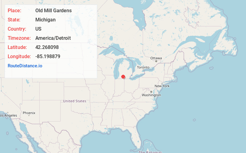
Static map view of Old Mill Gardens, Michigan
Browse Places by Distance
Places within specific distances from Old Mill Gardens
Short Distances
Long Distances
Click any distance to see all places within that range from Old Mill Gardens. Distances shown in miles (1 mile ≈ 1.61 kilometers).