Distance to Olive Branch, Nebraska

Calculating Your Route
Just a moment while we process your request...
Location Information
-
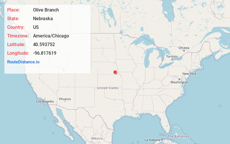
Full AddressOlive Branch, Nebraska
-
Coordinates40.5937524, -96.8176194
-
LocationNebraska , US
-
TimezoneAmerica/Chicago
-
Current Local Time2:42:54 PM America/ChicagoFriday, June 6, 2025
-
Page Views0
Nearby Places
Found 10 places within 50 miles

Kramer
3.0 mi
4.8 km
Kramer, NE 68333
Get directions

Hallam
4.2 mi
6.8 km
Hallam, NE 68368
Get directions
Martell
4.3 mi
6.9 km
Martell, NE 68404
Get directions

Sprague
4.4 mi
7.1 km
Sprague, NE
Get directions
Centerville
5.7 mi
9.2 km
Centerville, NE 68404
Get directions
Princeton
6.1 mi
9.8 km
Princeton, NE 68404
Get directions
Berks
6.7 mi
10.8 km
Berks, Highland Precinct, NE 68333
Get directions
Shestak
7.9 mi
12.7 km
Shestak, Big Blue Precinct, NE 68333
Get directions

Crete
7.9 mi
12.7 km
Crete, NE 68333
Get directions

Cortland
8.4 mi
13.5 km
Cortland, NE 68331
Get directions
Location Links
Local Weather
Weather Information
Coming soon!
Location Map
Static map view of Olive Branch, Nebraska
Browse Places by Distance
Places within specific distances from Olive Branch
Short Distances
Long Distances
Click any distance to see all places within that range from Olive Branch. Distances shown in miles (1 mile ≈ 1.61 kilometers).