Distance to Olive Branch, North Carolina

Calculating Your Route
Just a moment while we process your request...
Location Information
-
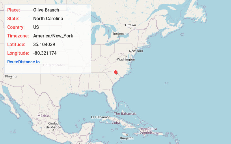
Full AddressOlive Branch, NC 28103
-
Coordinates35.1040386, -80.3211743
-
LocationOlive Branch , North Carolina , US
-
TimezoneAmerica/New_York
-
Current Local Time12:21:55 AM America/New_YorkMonday, June 23, 2025
-
Page Views0
About Olive Branch
Olive Branch is an unincorporated community located outside the town of Marshville in Union County, North Carolina, United States. Olive Branch is a rural area where the major industry is farming, and is located at the intersection of Highway 218 and Olive Branch Road.
Nearby Places
Found 10 places within 50 miles

Fountain Hill
2.6 mi
4.2 km
Fountain Hill, NC 28133
Get directions
New Salem
3.3 mi
5.3 km
New Salem, NC 28103
Get directions
Hamilton Crossroads
4.0 mi
6.4 km
Hamilton Crossroads, NC 28103
Get directions
Watson
6.4 mi
10.3 km
Watson, NC 28103
Get directions
Kikers
6.5 mi
10.5 km
Kikers, NC 28135
Get directions

Peachland
8.3 mi
13.4 km
Peachland, NC 28133
Get directions

Marshville
8.4 mi
13.5 km
Marshville, NC
Get directions

Oakboro
8.4 mi
13.5 km
Oakboro, NC
Get directions
Sugar Town
8.5 mi
13.7 km
Sugar Town, NC 28135
Get directions

Polkton
9.5 mi
15.3 km
Polkton, NC 28135
Get directions
Location Links
Local Weather
Weather Information
Coming soon!
Location Map
Static map view of Olive Branch, North Carolina
Browse Places by Distance
Places within specific distances from Olive Branch
Short Distances
Long Distances
Click any distance to see all places within that range from Olive Branch. Distances shown in miles (1 mile ≈ 1.61 kilometers).