Distance to Olive West, Arizona

Calculating Your Route
Just a moment while we process your request...
Location Information
-
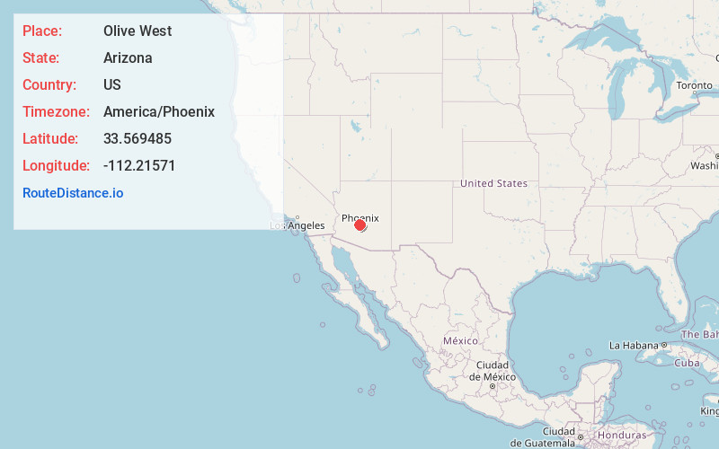
Full AddressOlive West, Peoria, AZ 85345
-
Coordinates33.5694846, -112.2157103
-
LocationPeoria , Arizona , US
-
TimezoneAmerica/Phoenix
-
Current Local Time6:30:47 AM America/PhoenixFriday, June 6, 2025
-
Page Views0
Nearby Places
Found 10 places within 50 miles

Peoria
1.5 mi
2.4 km
Peoria, AZ
Get directions

Mountain View Meadows
1.8 mi
2.9 km
Mountain View Meadows, Glendale, AZ 85302
Get directions

Glendale
2.7 mi
4.3 km
Glendale, AZ
Get directions
Marlborough Meadows
2.9 mi
4.7 km
Marlborough Meadows, Glendale, AZ 85304
Get directions

Sun City
3.8 mi
6.1 km
Sun City, AZ
Get directions
La Fontana Heights
3.9 mi
6.3 km
La Fontana Heights, Glendale, AZ 85303
Get directions
Ironwood Terrace
4.0 mi
6.4 km
Ironwood Terrace, Glendale, AZ 85303
Get directions
Saddlehorn Ranch
5.2 mi
8.4 km
Saddlehorn Ranch, Glendale, AZ 85308
Get directions

Youngtown
5.3 mi
8.5 km
Youngtown, AZ 85363
Get directions

El Mirage
7.0 mi
11.3 km
El Mirage, AZ
Get directions
Location Links
Local Weather
Weather Information
Coming soon!
Location Map
Static map view of Olive West, Arizona
Browse Places by Distance
Places within specific distances from Olive West
Short Distances
Long Distances
Click any distance to see all places within that range from Olive West. Distances shown in miles (1 mile ≈ 1.61 kilometers).