Distance to Onalaska, Washington

Calculating Your Route
Just a moment while we process your request...
Location Information
-
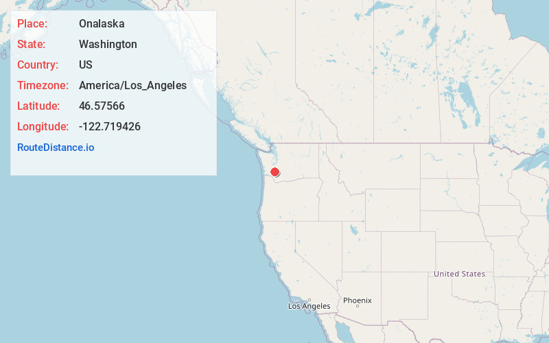
Full AddressOnalaska, WA
-
Coordinates46.5756602, -122.7194262
-
LocationOnalaska , Washington , US
-
TimezoneAmerica/Los_Angeles
-
Current Local Time4:03:03 PM America/Los_AngelesFriday, June 20, 2025
-
Page Views0
About Onalaska
Onalaska is an unincorporated community and census-designated place in Lewis County, Washington, United States. As of the 2020 census it had a population of 657. Onalaska is located along Washington State Route 508.
Nearby Places
Found 10 places within 50 miles

Napavine
9.0 mi
14.5 km
Napavine, WA
Get directions

Mossyrock
11.6 mi
18.7 km
Mossyrock, WA 98564
Get directions

Winlock
11.9 mi
19.2 km
Winlock, WA 98596
Get directions

Chehalis
13.4 mi
21.6 km
Chehalis, WA 98532
Get directions

Centralia
14.8 mi
23.8 km
Centralia, WA
Get directions

Vader
16.6 mi
26.7 km
Vader, WA
Get directions

Fords Prairie
18.9 mi
30.4 km
Fords Prairie, WA 98531
Get directions

Tenino
20.4 mi
32.8 km
Tenino, WA 98589
Get directions

Morton
21.1 mi
34.0 km
Morton, WA 98356
Get directions
Grand Mound
21.2 mi
34.1 km
Grand Mound, WA
Get directions
Location Links
Local Weather
Weather Information
Coming soon!
Location Map
Static map view of Onalaska, Washington
Browse Places by Distance
Places within specific distances from Onalaska
Short Distances
Long Distances
Click any distance to see all places within that range from Onalaska. Distances shown in miles (1 mile ≈ 1.61 kilometers).