Distance to Ono, California

Calculating Your Route
Just a moment while we process your request...
Location Information
-
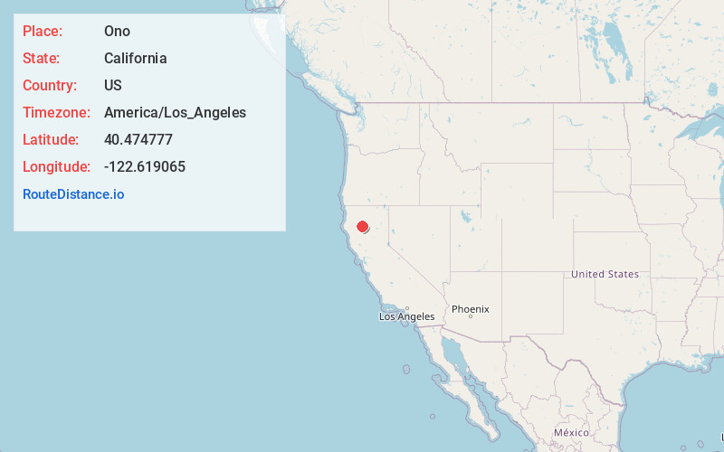
Full AddressOno, CA 96047
-
Coordinates40.4747769, -122.619065
-
LocationOno , California , US
-
TimezoneAmerica/Los_Angeles
-
Current Local Time6:52:49 AM America/Los_AngelesTuesday, June 24, 2025
-
Page Views0
About Ono
Ono is an unincorporated community and census-designated place in Shasta County, California. Ono's center is on County Road A16, locally known as Platina Road, the village's only access to the rest of the world. It is about 5 miles from its neighbor, Igo, and about 17 miles from Redding, the county seat.
Nearby Places
Found 10 places within 50 miles

Igo
4.6 mi
7.4 km
Igo, CA 96047
Get directions

Shasta
10.9 mi
17.5 km
Shasta, CA
Get directions

Happy Valley
11.4 mi
18.3 km
Happy Valley, CA 96007
Get directions
Keswick
13.1 mi
21.1 km
Keswick, CA 96001
Get directions

Redding
14.2 mi
22.9 km
Redding, CA
Get directions

French Gulch
15.6 mi
25.1 km
French Gulch, CA 96033
Get directions

Anderson
17.0 mi
27.4 km
Anderson, CA 96007
Get directions

Lewiston
18.4 mi
29.6 km
Lewiston, CA 96052
Get directions

Cottonwood
18.8 mi
30.3 km
Cottonwood, CA 96022
Get directions

Shasta Lake
19.3 mi
31.1 km
Shasta Lake, CA 96019
Get directions
Location Links
Local Weather
Weather Information
Coming soon!
Location Map
Static map view of Ono, California
Browse Places by Distance
Places within specific distances from Ono
Short Distances
Long Distances
Click any distance to see all places within that range from Ono. Distances shown in miles (1 mile ≈ 1.61 kilometers).