Distance to Onondaga, Michigan

Calculating Your Route
Just a moment while we process your request...
Location Information
-
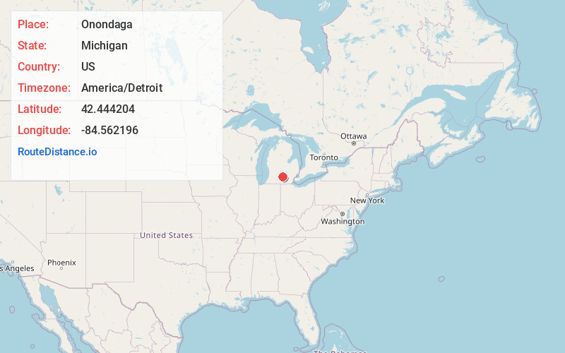
Full AddressOnondaga, MI 49264
-
Coordinates42.4442037, -84.5621963
-
LocationOnondaga , Michigan , US
-
TimezoneAmerica/Detroit
-
Current Local Time11:06:57 PM America/DetroitThursday, June 19, 2025
-
Page Views0
About Onondaga
Onondaga is an unincorporated community in the U.S. state of Michigan. The community is located within Onondaga Township in Ingham County. As an unincorporated community, Onondaga has no legally defined boundaries or population statistics of its own but does have its own post office with the 49264 ZIP Code.
Nearby Places
Found 10 places within 50 miles

Berryville
4.7 mi
7.6 km
Berryville, Tompkins Township, MI 49277
Get directions
Aurelius
5.9 mi
9.5 km
Aurelius, MI 48854
Get directions
Charlesworth
6.5 mi
10.5 km
Charlesworth, Hamlin Township, MI 48827
Get directions
North Leslie
6.5 mi
10.5 km
North Leslie, Leslie Township, MI 49251
Get directions

Eaton Rapids
6.6 mi
10.6 km
Eaton Rapids, MI 48827
Get directions

Leslie
6.6 mi
10.6 km
Leslie, MI 49251
Get directions

Minards Mill
7.4 mi
11.9 km
Minards Mill, Tompkins Township, MI 49269
Get directions

Springport
8.3 mi
13.4 km
Springport, MI 49284
Get directions
Kingsland
11.0 mi
17.7 km
Kingsland, Eaton Rapids Township, MI 48827
Get directions

Mason
11.1 mi
17.9 km
Mason, MI 48854
Get directions
Location Links
Local Weather
Weather Information
Coming soon!
Location Map
Static map view of Onondaga, Michigan
Browse Places by Distance
Places within specific distances from Onondaga
Short Distances
Long Distances
Click any distance to see all places within that range from Onondaga. Distances shown in miles (1 mile ≈ 1.61 kilometers).