Distance to Orell, Kentucky

Calculating Your Route
Just a moment while we process your request...
Location Information
-
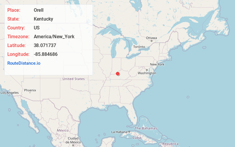
Full AddressOrell, Louisville, KY 40272
-
Coordinates38.071737, -85.8846855
-
LocationLouisville , Kentucky , US
-
TimezoneAmerica/New_York
-
Current Local Time9:18:32 AM America/New_YorkMonday, May 19, 2025
-
Page Views0
About Orell
Orell is a neighborhood of Louisville, Kentucky centered along Dixie Highway and Orell Road.
Nearby Places
Found 10 places within 50 miles

Fishtown
1.8 mi
2.9 km
Fishtown, Taylor Township, IN 47117
Get directions
Rosewood
3.4 mi
5.5 km
Rosewood, IN 47117
Get directions
Stites
4.0 mi
6.4 km
Stites, KY 40177
Get directions
Cupio
4.5 mi
7.2 km
Cupio, KY 40165
Get directions
Barrallton
5.2 mi
8.4 km
Barrallton, KY 40109
Get directions
Katharyn
5.5 mi
8.9 km
Katharyn, KY 40177
Get directions

Elizabeth
5.9 mi
9.5 km
Elizabeth, IN 47117
Get directions

West Point
6.1 mi
9.8 km
West Point, KY 40177
Get directions
Seven Springs
7.0 mi
11.3 km
Seven Springs, Posey Township, IN 47117
Get directions
Howard
7.1 mi
11.4 km
Howard, West Point, KY 40177
Get directions
Location Links
Local Weather
Weather Information
Coming soon!
Location Map
Static map view of Orell, Kentucky
Browse Places by Distance
Places within specific distances from Orell
Short Distances
Long Distances
Click any distance to see all places within that range from Orell. Distances shown in miles (1 mile ≈ 1.61 kilometers).