Distance to Orienta, Oklahoma

Calculating Your Route
Just a moment while we process your request...
Location Information
-
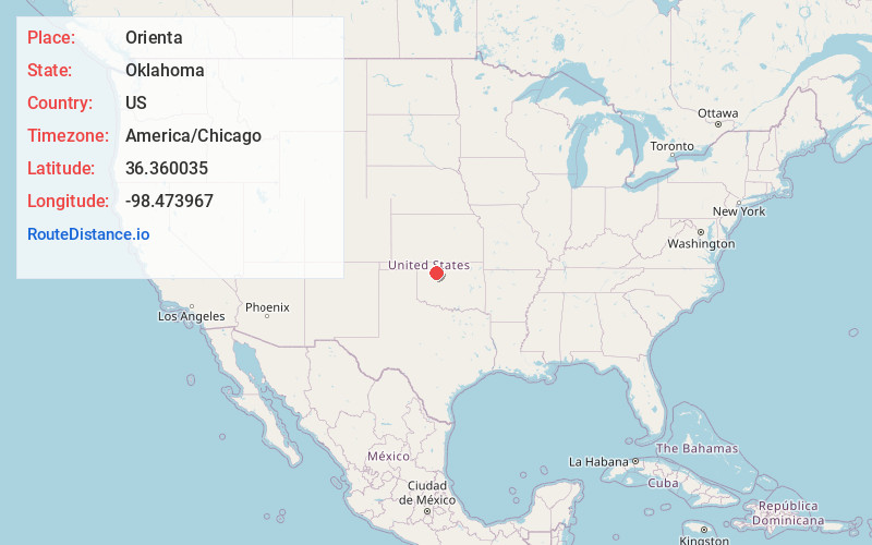
Full AddressOrienta, OK 73729
-
Coordinates36.3600348, -98.4739671
-
LocationOrienta , Oklahoma , US
-
TimezoneAmerica/Chicago
-
Current Local Time3:50:01 PM America/ChicagoTuesday, July 1, 2025
-
Page Views0
About Orienta
Orienta is an unincorporated community located at the junction of U.S. Routes 60 and 412 in Major County, Oklahoma, United States. It lies north of Fairview, east of the Glass Mountains, and south of the Cimarron River.
Nearby Places
Found 10 places within 50 miles

Cleo Springs
3.6 mi
5.8 km
Cleo Springs, OK 73729
Get directions

Fairview
6.3 mi
10.1 km
Fairview, OK 73737
Get directions

Cheyenne Valley
10.3 mi
16.6 km
Cheyenne Valley, OK 73737
Get directions

Aline
10.4 mi
16.7 km
Aline, OK 73716
Get directions

Isabella
11.4 mi
18.3 km
Isabella, OK 73747
Get directions
Dane
12.8 mi
20.6 km
Dane, OK 73737
Get directions

Ringwood
12.8 mi
20.6 km
Ringwood, OK 73768
Get directions

McWillie
13.8 mi
22.2 km
McWillie, OK 73716
Get directions
Carmen
15.1 mi
24.3 km
Carmen, OK 73726
Get directions
Longdale
16.2 mi
26.1 km
Longdale, OK 73755
Get directions
Location Links
Local Weather
Weather Information
Coming soon!
Location Map
Static map view of Orienta, Oklahoma
Browse Places by Distance
Places within specific distances from Orienta
Short Distances
Long Distances
Click any distance to see all places within that range from Orienta. Distances shown in miles (1 mile ≈ 1.61 kilometers).