Distance to Isabella, Oklahoma

Calculating Your Route
Just a moment while we process your request...
Location Information
-
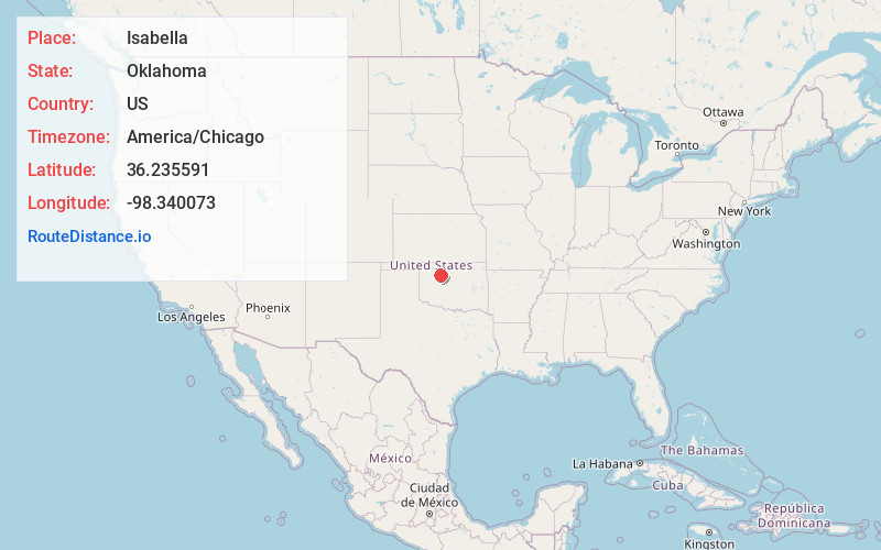
Full AddressIsabella, OK 73747
-
Coordinates36.2355913, -98.340073
-
LocationIsabella , Oklahoma , US
-
TimezoneAmerica/Chicago
-
Current Local Time6:36:19 PM America/ChicagoSunday, June 22, 2025
-
Page Views0
About Isabella
Isabella is a census-designated place and unincorporated community in Major County, Oklahoma, United States. The population was 114 at the time of the 2020 Census. Isabella has a post office with ZIP code 73747. It is west off of Oklahoma State Highway 8, situated east of Fairview, and north of Okeene.


Nearby Places
Found 10 places within 50 miles

Fairview
8.1 mi
13.0 km
Fairview, OK 73737
Get directions

Okeene
8.4 mi
13.5 km
Okeene, OK 73763
Get directions

Ames
8.7 mi
14.0 km
Ames, OK 73718
Get directions

Ringwood
11.3 mi
18.2 km
Ringwood, OK 73768
Get directions

Cleo Springs
13.0 mi
20.9 km
Cleo Springs, OK 73729
Get directions

Longdale
13.7 mi
22.0 km
Longdale, OK 73755
Get directions

Meno
13.8 mi
22.2 km
Meno, OK 73760
Get directions

Lahoma
17.4 mi
28.0 km
Lahoma, OK 73754
Get directions
Drummond
17.5 mi
28.2 km
Drummond, OK 73735
Get directions

Canton
18.7 mi
30.1 km
Canton, OK 73724
Get directions
Location Links
Local Weather
Weather Information
Coming soon!
Location Map
Static map view of Isabella, Oklahoma
Browse Places by Distance
Places within specific distances from Isabella
Short Distances
Long Distances
Click any distance to see all places within that range from Isabella. Distances shown in miles (1 mile ≈ 1.61 kilometers).