Distance to Oriskany, New York

Calculating Your Route
Just a moment while we process your request...
Location Information
-
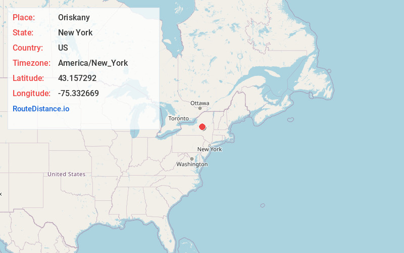
Full AddressOriskany, NY 13424
-
Coordinates43.1572918, -75.3326692
-
LocationOriskany , New York , US
-
TimezoneAmerica/New_York
-
Current Local Time8:51:12 PM America/New_YorkTuesday, June 17, 2025
-
Page Views0
About Oriskany
Oriskany is a village in Oneida County, New York, United States. The population was 1,315 at the 2020 census. The name is derived from the Iroquois word for "nettles".
The village of Oriskany is in the town of Whitestown, southeast of Rome, New York. NY-69 passes through the village, which is south of the Erie Canal.
Nearby Places
Found 10 places within 50 miles

Whitestown
1.3 mi
2.1 km
Whitestown, NY
Get directions

Whitesboro
3.2 mi
5.1 km
Whitesboro, NY 13492
Get directions

New York Mills
4.2 mi
6.8 km
New York Mills, NY
Get directions
Westmoreland
4.6 mi
7.4 km
Westmoreland, NY
Get directions
Clark Mills
5.1 mi
8.2 km
Clark Mills, NY
Get directions

New Hartford
6.2 mi
10.0 km
New Hartford, NY
Get directions

Trenton
7.3 mi
11.7 km
Trenton, NY
Get directions

Clinton
7.9 mi
12.7 km
Clinton, NY 13323
Get directions

Deerfield
9.8 mi
15.8 km
Deerfield, NY
Get directions
Lake Delta
11.7 mi
18.8 km
Lake Delta, NY
Get directions
Location Links
Local Weather
Weather Information
Coming soon!
Location Map
Static map view of Oriskany, New York
Browse Places by Distance
Places within specific distances from Oriskany
Short Distances
Long Distances
Click any distance to see all places within that range from Oriskany. Distances shown in miles (1 mile ≈ 1.61 kilometers).