Distance to Oriskany, Virginia

Calculating Your Route
Just a moment while we process your request...
Location Information
-
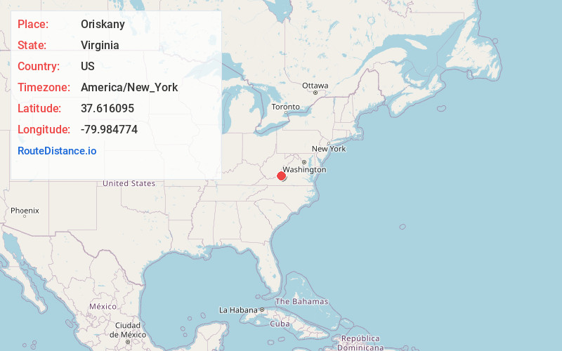
Full AddressOriskany, VA
-
Coordinates37.616095, -79.9847744
-
LocationOriskany , Virginia , US
-
TimezoneAmerica/New_York
-
Current Local Time7:33:15 AM America/New_YorkMonday, June 2, 2025
-
Page Views0
About Oriskany
Oriskany is an unincorporated community in Botetourt County, Virginia, United States.
The community features a small post office, a church and what is known as "Oriskany Square," which is one square block that encompasses the center of the village.
Nearby Places
Found 10 places within 50 miles

Flatwoods
7.6 mi
12.2 km
Flatwoods, VA 24090
Get directions

Fincastle
10.0 mi
16.1 km
Fincastle, VA 24090
Get directions

Boiling Springs District
10.1 mi
16.3 km
Boiling Springs District, VA 24426
Get directions

Eagle Rock
10.2 mi
16.4 km
Eagle Rock, VA 24085
Get directions

Haymakertown
10.4 mi
16.7 km
Haymakertown, VA 24175
Get directions

New Castle
10.6 mi
17.1 km
New Castle, VA 24127
Get directions

Covington
12.3 mi
19.8 km
Covington, VA 24426
Get directions
Glen Wilton
13.1 mi
21.1 km
Glen Wilton, VA
Get directions

Low Moor
13.1 mi
21.1 km
Low Moor, VA
Get directions

Looney
14.0 mi
22.5 km
Looney, VA 24127
Get directions
Location Links
Local Weather
Weather Information
Coming soon!
Location Map
Static map view of Oriskany, Virginia
Browse Places by Distance
Places within specific distances from Oriskany
Short Distances
Long Distances
Click any distance to see all places within that range from Oriskany. Distances shown in miles (1 mile ≈ 1.61 kilometers).