Distance to Oslo, Minnesota

Calculating Your Route
Just a moment while we process your request...
Location Information
-
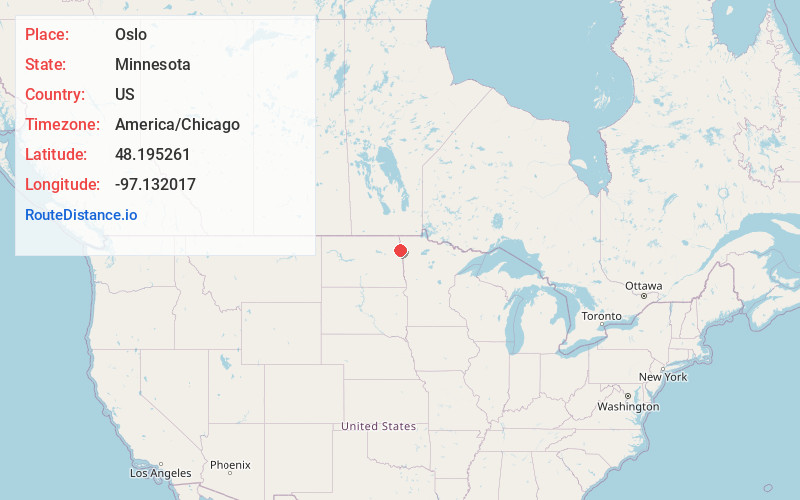
Full AddressOslo, MN 56744
-
Coordinates48.1952614, -97.1320169
-
LocationOslo , Minnesota , US
-
TimezoneAmerica/Chicago
-
Current Local Time4:08:19 AM America/ChicagoSaturday, May 24, 2025
-
Website
-
Page Views0
About Oslo
Oslo is a city in Marshall County, Minnesota, United States. The population was 239 at the 2020 census.
Minnesota Highway 1 and Minnesota Highway 220 are two of the main routes in the community. Oslo is three miles east of Interstate 29 in nearby North Dakota.


Nearby Places
Found 10 places within 50 miles

Manvel
8.4 mi
13.5 km
Manvel, ND 58256
Get directions

Minto
12.9 mi
20.8 km
Minto, ND 58261
Get directions

Warren
16.5 mi
26.6 km
Warren, MN 56762
Get directions

Argyle
17.2 mi
27.7 km
Argyle, MN 56713
Get directions

Gilby
17.4 mi
28.0 km
Gilby, ND 58235
Get directions

Grand Forks
19.2 mi
30.9 km
Grand Forks, ND
Get directions
Grafton
19.7 mi
31.7 km
Grafton, ND 58237
Get directions

Grand Forks AFB
20.4 mi
32.8 km
Grand Forks AFB, ND
Get directions
Stephen
21.3 mi
34.3 km
Stephen, MN 56757
Get directions

Emerado
21.9 mi
35.2 km
Emerado, ND 58228
Get directions
Location Links
Local Weather
Weather Information
Coming soon!
Location Map
Static map view of Oslo, Minnesota
Browse Places by Distance
Places within specific distances from Oslo
Short Distances
Long Distances
Click any distance to see all places within that range from Oslo. Distances shown in miles (1 mile ≈ 1.61 kilometers).