Distance to Ossineke, Michigan

Calculating Your Route
Just a moment while we process your request...
Location Information
-
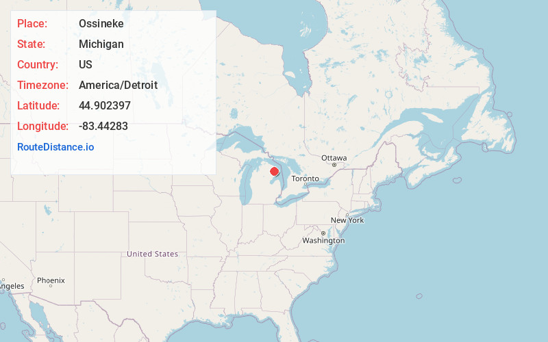
Full AddressOssineke, MI 49766
-
Coordinates44.9023968, -83.4428302
-
LocationOssineke , Michigan , US
-
TimezoneAmerica/Detroit
-
Current Local Time9:17:38 AM America/DetroitSaturday, June 21, 2025
-
Page Views0
About Ossineke
Ossineke is an unincorporated community and census-designated place in Alpena County in the U.S. state of Michigan. The population was 932 at the 2020 census. The community is located within Sanborn Township, several miles south of Alpena on U.S. Highway 23.


Nearby Places
Found 8 places within 50 miles

Hubbard Lake
11.0 mi
17.7 km
Hubbard Lake, MI
Get directions

Alpena
11.0 mi
17.7 km
Alpena, MI 49707
Get directions

Au Sable
34.6 mi
55.7 km
Au Sable, MI 48750
Get directions

Mio
37.9 mi
61.0 km
Mio, MI 48647
Get directions

Rogers City
40.3 mi
64.9 km
Rogers City, MI 49779
Get directions

Lewiston
42.3 mi
68.1 km
Lewiston, MI 49756
Get directions

East Tawas
43.1 mi
69.4 km
East Tawas, MI 48730
Get directions

Tawas City
43.9 mi
70.7 km
Tawas City, MI 48763
Get directions
Location Links
Local Weather
Weather Information
Coming soon!
Location Map
Static map view of Ossineke, Michigan
Browse Places by Distance
Places within specific distances from Ossineke
Short Distances
Long Distances
Click any distance to see all places within that range from Ossineke. Distances shown in miles (1 mile ≈ 1.61 kilometers).