Distance to Ottawa, Minnesota

Calculating Your Route
Just a moment while we process your request...
Location Information
-
Full AddressOttawa, MN 56058
-
Coordinates44.3821877, -93.9457949
-
LocationOttawa , Minnesota , US
-
TimezoneAmerica/Chicago
-
Current Local Time6:24:45 AM America/ChicagoSunday, June 29, 2025
-
Page Views0
About Ottawa
Ottawa is an unincorporated community in Ottawa Township, Le Sueur County, Minnesota, United States.
The community is located south of Le Sueur at the junction of Le Sueur County Roads 23 and 36. The Minnesota River and Cherry Creek meet at Ottawa. State Highway 112 is also in the immediate area.


Nearby Places
Found 10 places within 50 miles

St Peter
3.9 mi
6.3 km
St Peter, MN 56082
Get directions

Le Sueur
5.6 mi
9.0 km
Le Sueur, MN 56058
Get directions

Kasota
6.4 mi
10.3 km
Kasota, MN
Get directions

Cleveland
6.6 mi
10.6 km
Cleveland, MN
Get directions

Rush River
7.8 mi
12.6 km
Rush River, MN 56058
Get directions
Norseland
8.7 mi
14.0 km
Norseland, Lake Prairie Township, MN 56082
Get directions
Oshawa
9.7 mi
15.6 km
Oshawa, MN 56082
Get directions

Henderson
10.3 mi
16.6 km
Henderson, MN 56044
Get directions
Le Center
10.7 mi
17.2 km
Le Center, MN 56057
Get directions
Marysburg
11.7 mi
18.8 km
Marysburg, Washington Township, MN 56063
Get directions
Location Links
Local Weather
Weather Information
Coming soon!
Location Map
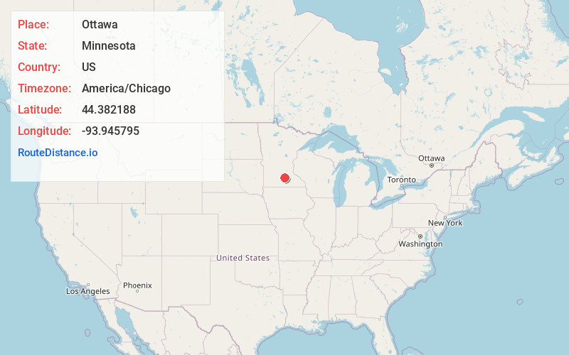
Static map view of Ottawa, Minnesota
Browse Places by Distance
Places within specific distances from Ottawa
Short Distances
Long Distances
Click any distance to see all places within that range from Ottawa. Distances shown in miles (1 mile ≈ 1.61 kilometers).