Distance to Oxford, Missouri

Calculating Your Route
Just a moment while we process your request...
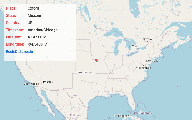
Location Information
-
Full AddressOxford, Greene Township, MO 64499
-
Coordinates40.4211018, -94.5405169
-
LocationGreene Township , Missouri , US
-
TimezoneAmerica/Chicago
-
Current Local Time3:11:17 AM America/ChicagoFriday, June 6, 2025
-
Page Views0
About Oxford
Oxford is an unincorporated community in southwest Worth County, Missouri, United States.
Oxford is located on Missouri Route U approximately eight miles southwest of Grant City and five miles west of Worth. Parnell in adjacent Nodaway County is about four miles to the west.
Nearby Places
Found 10 places within 50 miles

Enyart
4.1 mi
6.6 km
Enyart, Wilson Township, MO 64479
Get directions
Parnell
4.5 mi
7.2 km
Parnell, MO 64475
Get directions
Worth
5.2 mi
8.4 km
Worth, MO 64499
Get directions
Isadora
7.3 mi
11.7 km
Isadora, Union Township, MO 64456
Get directions

Sheridan
7.7 mi
12.4 km
Sheridan, MO 64486
Get directions
Alanthus Grove
7.9 mi
12.7 km
Alanthus Grove, MO 64489
Get directions
Grant City
8.2 mi
13.2 km
Grant City, MO 64456
Get directions
Ravenwood
8.5 mi
13.7 km
Ravenwood, MO 64479
Get directions
Gentry
8.8 mi
14.2 km
Gentry, MO 64453
Get directions
Orrsburg
9.5 mi
15.3 km
Orrsburg, Independence Township, MO 64475
Get directions
Location Links
Local Weather
Weather Information
Coming soon!
Location Map
Static map view of Oxford, Missouri
Browse Places by Distance
Places within specific distances from Oxford
Short Distances
Long Distances
Click any distance to see all places within that range from Oxford. Distances shown in miles (1 mile ≈ 1.61 kilometers).