Distance to Pactolus, North Carolina

Calculating Your Route
Just a moment while we process your request...
Location Information
-
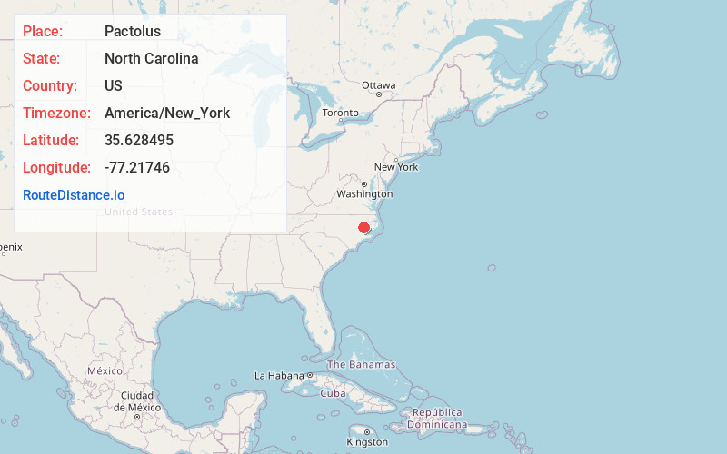
Full AddressPactolus, NC 27834
-
Coordinates35.6284946, -77.2174603
-
LocationPactolus , North Carolina , US
-
TimezoneAmerica/New_York
-
Current Local Time12:19:52 AM America/New_YorkWednesday, June 18, 2025
-
Page Views0


Nearby Places
Found 10 places within 50 miles

New Belden
4.4 mi
7.1 km
New Belden, NC 27834
Get directions

Grimesland
4.7 mi
7.6 km
Grimesland, NC 27837
Get directions
Leggetts Crossroads
4.9 mi
7.9 km
Leggetts Crossroads, NC 27834
Get directions
Latham
5.0 mi
8.0 km
Latham, NC 27889
Get directions
Simpson
5.0 mi
8.0 km
Simpson, NC
Get directions
Galloway Crossroads
6.2 mi
10.0 km
Galloway Crossroads, NC 27858
Get directions
Stokes
6.6 mi
10.6 km
Stokes, NC 27884
Get directions
Hams Crossroads
6.9 mi
11.1 km
Hams Crossroads, NC 27837
Get directions
Boyd Crossroads
6.9 mi
11.1 km
Boyd Crossroads, NC 27837
Get directions
Camelot
7.4 mi
11.9 km
Camelot, NC 27858
Get directions
Location Links
Local Weather
Weather Information
Coming soon!
Location Map
Static map view of Pactolus, North Carolina
Browse Places by Distance
Places within specific distances from Pactolus
Short Distances
Long Distances
Click any distance to see all places within that range from Pactolus. Distances shown in miles (1 mile ≈ 1.61 kilometers).