Distance to Paint Town, North Carolina

Calculating Your Route
Just a moment while we process your request...
Location Information
-
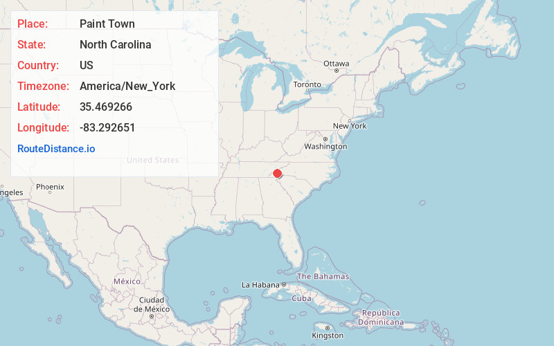
Full AddressPaint Town, Cherokee, NC 28789
-
Coordinates35.469266, -83.2926507
-
LocationCherokee , North Carolina , US
-
TimezoneAmerica/New_York
-
Current Local Time6:15:23 AM America/New_YorkWednesday, June 18, 2025
-
Page Views0
Nearby Places
Found 10 places within 50 miles

Olivet
1.0 mi
1.6 km
Olivet, NC 28789
Get directions

Cherokee
1.7 mi
2.7 km
Cherokee, NC
Get directions
Ravensford
2.9 mi
4.7 km
Ravensford, NC 28719
Get directions
Qualla
2.9 mi
4.7 km
Qualla, NC 28789
Get directions
Birdtown
3.3 mi
5.3 km
Birdtown, NC 28719
Get directions

Whittier
4.3 mi
6.9 km
Whittier, NC 28789
Get directions
Wilmot
4.8 mi
7.7 km
Wilmot, NC 28789
Get directions

Ela
5.7 mi
9.2 km
Ela, NC 28713
Get directions

Fisher Creek
6.7 mi
10.8 km
Fisher Creek, North Carolina 28779
Get directions

Dillsboro
7.3 mi
11.7 km
Dillsboro, NC 28779
Get directions
Location Links
Local Weather
Weather Information
Coming soon!
Location Map
Static map view of Paint Town, North Carolina
Browse Places by Distance
Places within specific distances from Paint Town
Short Distances
Long Distances
Click any distance to see all places within that range from Paint Town. Distances shown in miles (1 mile ≈ 1.61 kilometers).